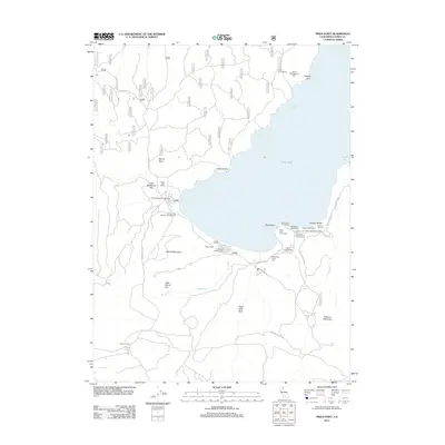
2012 Map of Pikes Point
USGS Topo · Published 2012About this map
Eagle Lake dominates the eastern half of this Lassen County landscape, where the shoreline is defined by recreational hubs and conservation areas like the Osprey Management Area. The western side of the water features the Eagle Lake Resort and Eagle Lodge, while the southeastern shore is more developed for public use with sites such as Gallatin Beach, the Gallatin Picnic Area, and the Gallatin House. Inland, the topography is marked by evidence of past wildfire events, specifically the Merrill Burn and Eagle Lake Burn, which sit alongside distinctive landforms like Merrill Mountain and Wildcat Point. The map captures a detailed network of forest access routes, including Eagle Lake Rd and Merrill Flat Rd, which connect remote landmarks like Roney Corral to the active waterfront at Pikes Point.
Find a feature on this map
37 named features on this map. Tap any name to fly to it.
Don’t see what you’re looking for? This feature index may not catch every label — zoom into the map to look around manually.
Map Details
Editions of this 2012 Pikes Point Map
This is the sole edition of this map. No revisions or reprints were ever made.
Other maps of this area
1886 · Honey Lake
USGS Topo · 1:250,000
1891 · Honey Lake
USGS Topo · 1:250,000
1893 · Honey Lake
USGS Topo · 1:250,000
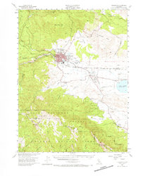
1954 · Susanville
USGS Topo · 1:62,500
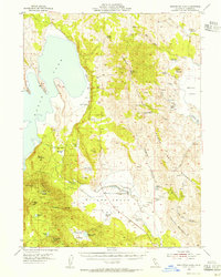
1954 · Fredonyer Peak
USGS Topo · 1:62,500
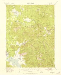
1955 · Westwood
USGS Topo · 1:62,500
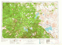
1955 · Westwood
USGS Topo · 1:250,000
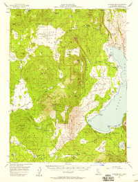
1956 · Antelope Mtn
USGS Topo · 1:62,500
1958 · Westwood
USGS Topo · 1:250,000
1959 · Westwood
USGS Topo · 1:250,000