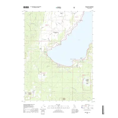
2018 Map of Pikes Point
USGS Topo · Published 2018About this map
Eagle Lake dominates the eastern half of this landscape, its western shoreline defined by rugged volcanic features and seasonal meadows within the Lassen National Forest. The map illustrates the geological character of the region through the Brockman Flat Lava Beds and a series of expansive high-altitude flats, including Penitentiary Flat and Big Merrill Flat. Along the water's edge, designated recreation areas like Gallatin Beach and boat access points at Pikes Point serve as focal points for public land use.
Find a feature on this map
33 named features on this map. Tap any name to fly to it.
Don’t see what you’re looking for? This feature index may not catch every label — zoom into the map to look around manually.
Map Details
Editions of this 2018 Pikes Point Map
This is the sole edition of this map. No revisions or reprints were ever made.
Other maps of this area
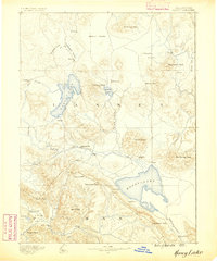
1886 · Honey Lake
USGS Topo · 1:250,000
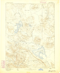
1891 · Honey Lake
USGS Topo · 1:250,000
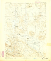
1893 · Honey Lake
USGS Topo · 1:250,000
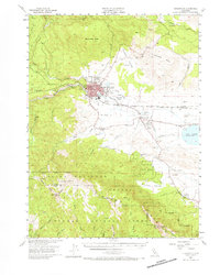
1954 · Susanville
USGS Topo · 1:62,500
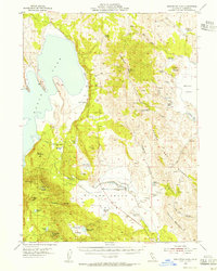
1954 · Fredonyer Peak
USGS Topo · 1:62,500
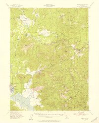
1955 · Westwood
USGS Topo · 1:62,500
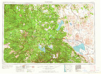
1955 · Westwood
USGS Topo · 1:250,000
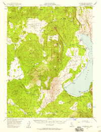
1956 · Antelope Mtn
USGS Topo · 1:62,500
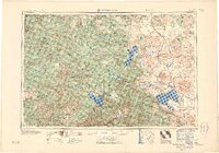
1958 · Westwood
USGS Topo · 1:250,000
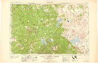
1959 · Westwood
USGS Topo · 1:250,000