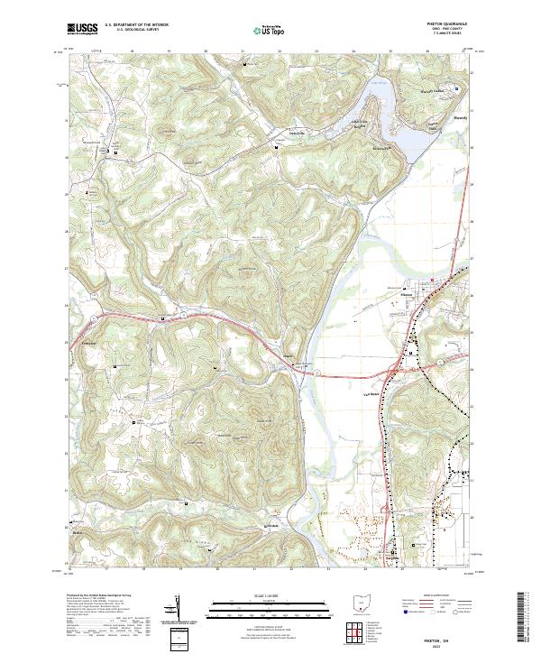
2023 Map of Piketon
USGS Topo · Published 2023About this map
Piketon and the broad valley of the Scioto River dominate this modern topographical record of Pike County. The landscape is defined by the contrast between the flat, fertile river bottoms and the high, wooded ridges to the west, where family and place-name landmarks like Combs Knob and Yankee Hill rise above the drainage of Sunfish Creek. For genealogists, the map is particularly dense with burial sites, from the ancient namesake of Mound Cem to remote family plots like the Brown Number 3 Cem and Skinner Cem. The modern transport corridor is anchored by the Norfolk Southern line and the crossing of highways at Jasper, while residential developments like Waverly Gables and Forest Hills expand near the northern edge of the survey area.
Find a feature on this map
120 named features on this map. Tap any name to fly to it.
Don’t see what you’re looking for? This feature index may not catch every label — zoom into the map to look around manually.
Map Details
Editions of this 2023 Piketon Map
This is the sole edition of this map. No revisions or reprints were ever made.
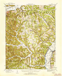
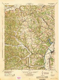
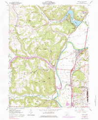
Historical Maps of Jasper Through Time
5 maps found