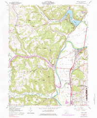
1961 Map of Piketon
USGS Topo · Published 1984About this map
The Scioto River valley serves as the central artery for this part of Pike County, dividing the landscape into distinct surveying districts. East of the river, the land follows Congress Lands patterns, while the western side remains part of the Virginia Military District, a distinction reflected in the irregular property lines and winding roads like Ohio 124. The 1960s landscape is dominated by the massive U S Reservation Atomic Energy Commission in the southeast, a sprawling industrial presence that contrasts sharply with the area's ancient history, represented by a prominent Indian Mound near Piketon. Local genealogy is well-preserved through numerous family and community burial grounds, including Rittenour Cem and Milliron Cem. Leisure and infrastructure meet at Lake White State Park, where the spillway and residential developments like Lake View Heights overlook the reservoir.
Find a feature on this map
70 named features on this map. Tap any name to fly to it.
Don’t see what you’re looking for? This feature index may not catch every label — zoom into the map to look around manually.
Map Details
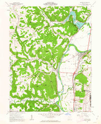
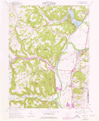
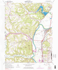
Editions of this 1961 Piketon Map
4 editions found
Other maps of this area

1906 · Waverly
USGS Topo · 1:62,500

1908 · Waverly
USGS Topo · 1:62,500

1911 · Sciotoville
USGS Topo · 1:62,500

1913 · Sciotoville
USGS Topo · 1:62,500

1915 · Otway
USGS Topo · 1:62,500

1915 · Piketon
USGS Topo · 1:62,500

1917 · Piketon
USGS Topo · 1:62,500

1917 · Otway
USGS Topo · 1:62,500

1944 · Piketon
USGS Topo · 1:62,500

1947 · Columbus
USGS Topo · 1:250,000