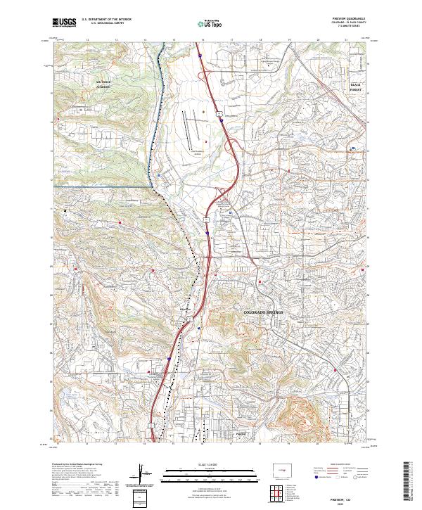
2023 Map of Pikeview
USGS Topo · Published 2023About this map
The Air Force Academy and the northern expansion of Colorado Springs dominate this modern landscape, where military institutions and residential growth meet the dramatic geology of the Front Range. The map details the institutional footprint of the USAF Academy, including the USAF Academy Airfield, set against the natural landmarks of Popes Bluffs and Austin Bluffs. Infrastructure like the BNSF Railway and the New Santa Fe Regional Trl follow the path of Monument Creek, illustrating how historic transportation corridors continue to shape the modern city. Historically significant sites like the Mount Saint Francis Cem and the settlement of Pikeview remain integrated into the suburban fabric, while the Templeton Gap Floodway reveals the complex water management required by this high-altitude environment.
Find a feature on this map
267 named features on this map. Tap any name to fly to it.
Don’t see what you’re looking for? This feature index may not catch every label — zoom into the map to look around manually.
Map Details
Editions of this 2023 Pikeview Map
This is the sole edition of this map. No revisions or reprints were ever made.
Other maps of this area

1893 · Colorado Springs
USGS Topo · 1:125,000

1894 · Castle Rock
USGS Topo · 1:125,000

1909 · Colorado Springs
USGS Topo · 1:125,000

1913 · Castle Rock
USGS Topo · 1:125,000

1940 · Elbert
USGS Topo · 1:62,500

1942 · Colorado Springs
USGS Topo · 1:125,000

1944 · Elbert
USGS Topo · 1:62,500

1948 · Manitou Springs
USGS Topo · 1:24,000

1948 · Colorado Springs
USGS Topo · 1:62,500

1948 · Pikeview
USGS Topo · 1:24,000
Featured Places
- Colorado Springs, CO
- Pikeview, Colorado Springs
- Papeton, Colorado Springs
- El Paso County, CO
- United States