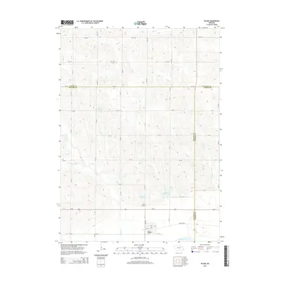
2014 Map of Pilger
USGS Topo · Published 2014About this map
Pilger sits at the southern edge of this Nebraska landscape, situated near the banks of the Elkhorn River where local travel is facilitated by Old Highway 8. The area is defined by its agrarian structure, with a dense grid of section roads including 841 Rd and 574th Ave connecting scattered water resources and farmsteads. Local water management is evident through numerous named catchments like Willers Reservoir, Bordner Reservoir, and Pilger Reservoir 1-B, which dot the drainages of Humbug Cr and Sand Cr. Genealogists will find the Pilger Cem north of the main settlement. This survey also documents the triple-county junction where Wayne, Stanton, and Cuming counties meet, illustrating the political geography that shaped these rural communities.
Find a feature on this map
39 named features on this map. Tap any name to fly to it.
Don’t see what you’re looking for? This feature index may not catch every label — zoom into the map to look around manually.
Map Details
Editions of this 2014 Pilger Map
This is the sole edition of this map. No revisions or reprints were ever made.
Other maps of this area

1955 · Sioux City
USGS Topo · 1:250,000

1955 · Fremont
USGS Topo · 1:250,000

1957 · Fremont
USGS Topo · 1:250,000

1958 · Sioux City
USGS Topo · 1:250,000

1958 · Fremont
USGS Topo · 1:250,000

1959 · Sioux City
USGS Topo · 1:250,000

1963 · Pilger
USGS Topo · 1:24,000

1963 · Wayne SW
USGS Topo · 1:24,000

1963 · Wisner
USGS Topo · 1:24,000

1963 · Altona
USGS Topo · 1:24,000