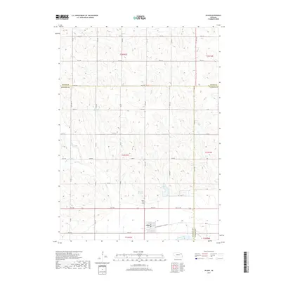
2017 Map of Pilger
USGS Topo · Published 2017About this map
Pilger serves as the primary focal point of this northeast Nebraska landscape, situated near the southern bank of the Elkhorn River. The area is characterized by the convergence of several waterways, including Plum Cr and Sand Cr, which drain the agricultural uplands toward the river valley. Local history and genealogy interests are anchored by the Pilger Cem and the distinctive Old Hwy 8 Black Hills Trail Rd, which follows the southern edge of the community alongside the railroad corridor.
Find a feature on this map
44 named features on this map. Tap any name to fly to it.
Don’t see what you’re looking for? This feature index may not catch every label — zoom into the map to look around manually.
Map Details
Editions of this 2017 Pilger Map
This is the sole edition of this map. No revisions or reprints were ever made.
Other maps of this area

1955 · Sioux City
USGS Topo · 1:250,000

1955 · Fremont
USGS Topo · 1:250,000

1957 · Fremont
USGS Topo · 1:250,000

1958 · Sioux City
USGS Topo · 1:250,000

1958 · Fremont
USGS Topo · 1:250,000

1959 · Sioux City
USGS Topo · 1:250,000

1963 · Pilger
USGS Topo · 1:24,000

1963 · Wayne SW
USGS Topo · 1:24,000

1963 · Wisner
USGS Topo · 1:24,000

1963 · Altona
USGS Topo · 1:24,000