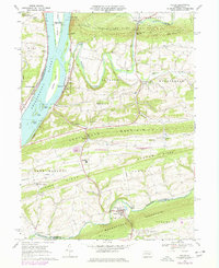
1969 Map of Pillow
USGS Topo · Published 1978About this map
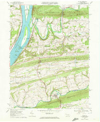
The Susquehanna River dominates the western edge of this central Pennsylvania landscape, punctuated by a string of river islands including Hoover Island, Whites Island, and Toad Island. Settled communities such as Port Trevorton, Herndon, and Dalmatia line the river banks, linked by the Conrail rail lines that follow the water's edge. Inland, the terrain is defined by a series of prominent ridges such as Line Mountain and Fisher Ridge, with agricultural valleys tucked between them.
Find a feature on this map
65 named features on this map. Tap any name to fly to it.
Don’t see what you’re looking for? This feature index may not catch every label — zoom into the map to look around manually.
Map Details
Editions of this 1969 Pillow Map
2 editions found
Other maps of this area

1892 · Lykens
USGS Topo · 1:62,500

1892 · Shamokin
USGS Topo · 1:62,500

1893 · Sunbury
USGS Topo · 1:62,500

1893 · Lykens
USGS Topo · 1:62,500

1893 · Shamokin
USGS Topo · 1:62,500

1893 · Millersburg
USGS Topo · 1:62,500

1943 · Millersburg
USGS Topo · 1:62,500

1943 · Lykens
USGS Topo · 1:62,500

1943 · Shamokin
USGS Topo · 1:62,500

1943 · Sunbury
USGS Topo · 1:62,500