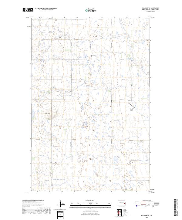
2024 Map of Pillsbury SE
USGS Topo · Published 2024About this map
The Barnes County Waterfowl Production Area dominates the western landscape of this Barnes County quadrangle, where a complex network of wetlands and small water bodies defines the terrain. This modern survey reflects the region's agricultural and conservation identity, punctuated by the high ground of Pilot Knob and the waters of Minnie Lake. The grid of township roads, including 127th Ave SE and 22nd St SE, organizes the rolling prairie into a predictable pattern of section lines. Local history and specialized infrastructure are visible at the Morton Cem and the uniquely named Gage Flying Farmer Airport, illustrating the sparse but purposeful human footprint in this part of North Dakota.
Find a feature on this map
22 named features on this map. Tap any name to fly to it.
Don’t see what you’re looking for? This feature index may not catch every label — zoom into the map to look around manually.
Map Details
Editions of this 2024 Pillsbury SE Map
This is the sole edition of this map. No revisions or reprints were ever made.
Other maps of this area

1897 · Tower
USGS Topo · 1:125,000

1952 · Grand Forks
USGS Topo · 1:250,000

1953 · Fargo
USGS Topo · 1:250,000

1956 · Fargo
USGS Topo · 1:250,000

1956 · Grand Forks
USGS Topo · 1:250,000

1961 · Valley City East
USGS Topo · 1:24,000

1966 · Grand Forks
USGS Topo · 1:250,000

1967 · Tower City
USGS Topo · 1:24,000

1967 · Pillsbury SE
USGS Topo · 1:24,000
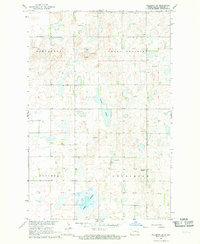
1967 · Pillsbury SW
USGS Topo · 1:24,000
Featured Places
- Noltimier Township, ND
- Grand Prairie Township, ND
- Minnie Lake Township, ND
- Weimer Township, ND
- Barnes County, ND