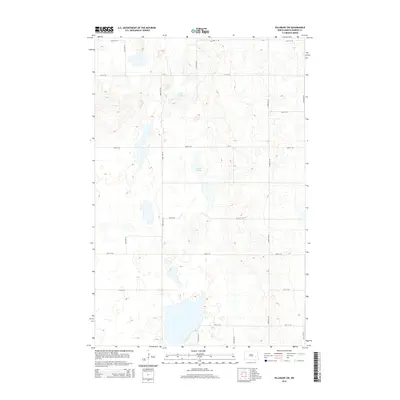
2014 Map of Pillsbury SW
USGS Topo · Published 2014About this map
Crow Lake and Larson Slough define this glacial landscape in Noltimier Township, where the water-carved prairie meets the rigid grid of North Dakota's section-line roads. This 2014 survey by the U.S. Geological Survey shows a rural environment primarily organized by transport and topography. A dense network of gravel and local roads, including 119th Ave SE, 120th Ave SE, and 20th St SE, segments the land into the traditional square-mile townships typical of the Great Plains. The intricate contour lines reveal a pothole-rich terrain where drainage collects in numerous unnamed depressions and larger basins like the slough. While large settlements are absent, the map documents the fine-grained road network essential for modern agriculture and rural residency in Barnes County.
Find a feature on this map
16 named features on this map. Tap any name to fly to it.
Don’t see what you’re looking for? This feature index may not catch every label — zoom into the map to look around manually.
Map Details
Editions of this 2014 Pillsbury SW Map
This is the sole edition of this map. No revisions or reprints were ever made.
Other maps of this area

1897 · Tower
USGS Topo · 1:125,000

1897 · Eckelson
USGS Topo · 1:125,000

1952 · Grand Forks
USGS Topo · 1:250,000

1952 · New Rockford
USGS Topo · 1:250,000

1953 · Jamestown
USGS Topo · 1:250,000

1953 · Fargo
USGS Topo · 1:250,000

1956 · New Rockford
USGS Topo · 1:250,000

1956 · Fargo
USGS Topo · 1:250,000

1956 · Jamestown
USGS Topo · 1:250,000

1956 · Grand Forks
USGS Topo · 1:250,000
Featured Places
- Noltimier Township, ND
- Grand Prairie Township, ND
- Getchell Township, ND
- Ashtabula Township, ND
- Barnes County, ND