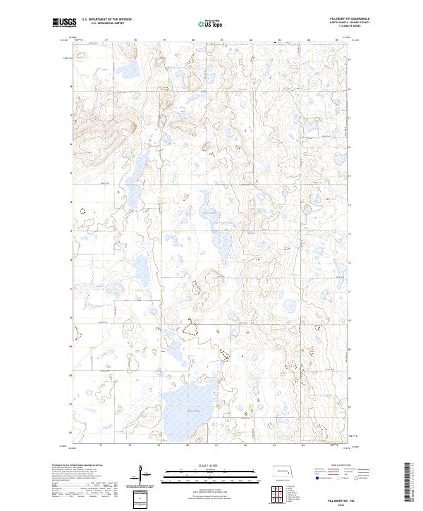
2024 Map of Pillsbury SW
USGS Topo · Published 2024About this map
Barnes County Waterfowl Production Area occupies several non-contiguous sections across this prairie landscape in eastern North Dakota. The terrain is defined by its numerous wetlands and depressions, characteristic of the region's glacial history. Significant water bodies such as Crow Lake, Larson Slough, and the larger Adams Slough to the south serve as central landmarks within the patchwork of township boundaries, including t142n r58w and t141n r57w. A structured grid of section roads, including 120th Ave SE and Co Hwy 27, provides access to these conservation lands and the surrounding agricultural tracts. This 2024 survey captures the modern conservation footprint in a landscape still fundamentally organized by the Public Land Survey System.
Find a feature on this map
22 named features on this map. Tap any name to fly to it.
Don’t see what you’re looking for? This feature index may not catch every label — zoom into the map to look around manually.
Map Details
Editions of this 2024 Pillsbury SW Map
This is the sole edition of this map. No revisions or reprints were ever made.
Other maps of this area

1897 · Tower
USGS Topo · 1:125,000

1897 · Eckelson
USGS Topo · 1:125,000

1952 · Grand Forks
USGS Topo · 1:250,000

1952 · New Rockford
USGS Topo · 1:250,000

1953 · Jamestown
USGS Topo · 1:250,000

1953 · Fargo
USGS Topo · 1:250,000

1956 · New Rockford
USGS Topo · 1:250,000

1956 · Fargo
USGS Topo · 1:250,000

1956 · Jamestown
USGS Topo · 1:250,000

1956 · Grand Forks
USGS Topo · 1:250,000
Featured Places
- Noltimier Township, ND
- Grand Prairie Township, ND
- Getchell Township, ND
- Ashtabula Township, ND
- Barnes County, ND