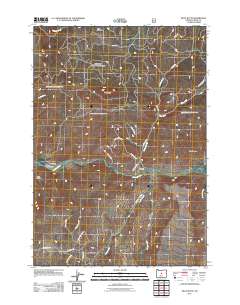
2011 Map of Pilot Butte
USGS Topo · Published 2011About this map
The Crooked River winds through this central Oregon landscape, anchored by the prominent Pilot Butte and the surrounding high desert terrain of Crook County. Agricultural life is centered along the river valley, where long-standing properties like Porfily Ranch, Shorty Davis Ranch, and Riverside Ranch are situated. These ranching outposts define the human footprint in an area otherwise characterized by significant natural features like Box Canyon and the broad expanse of Dixie Meadows.
Find a feature on this map
31 named features on this map. Tap any name to fly to it.
Don’t see what you’re looking for? This feature index may not catch every label — zoom into the map to look around manually.
Map Details
Editions of this 2011 Pilot Butte Map
This is the sole edition of this map. No revisions or reprints were ever made.
Other maps of this area

1946 · Eagle Rock
USGS Topo · 1:62,500

1948 · Eagle Rock
USGS Topo · 1:62,500

1948 · Ochoco Reservoir
USGS Topo · 1:62,500

1950 · Ochoco Reservoir
USGS Topo · 1:62,500

1951 · Post
USGS Topo · 1:62,500

1951 · Lookout Mtn
USGS Topo · 1:62,500

1955 · Bend
USGS Topo · 1:250,000

1957 · Bend
USGS Topo · 1:250,000

1958 · Bend
USGS Topo · 1:250,000

1981 · Prineville
USGS Topo · 1:100,000