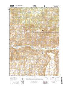
2014 Map of Pilot Butte
USGS Topo · Published 2014About this map
Ochoco National Forest lands dominate the northern and eastern portions of this Crook County landscape, where the terrain is marked by significant elevation changes and seasonal watercourses. The central feature, Pilot Butte, serves as a prominent landmark overlooking the winding course of the Crooked River, which cuts across the middle of the sheet. This 2014 survey documents the complex network of forest and local roads that provide access to the interior, including Burma Rd and SE Sjostrom Rd.
Find a feature on this map
33 named features on this map. Tap any name to fly to it.
Don’t see what you’re looking for? This feature index may not catch every label — zoom into the map to look around manually.
Map Details
Editions of this 2014 Pilot Butte Map
This is the sole edition of this map. No revisions or reprints were ever made.
Other maps of this area

1946 · Eagle Rock
USGS Topo · 1:62,500

1948 · Eagle Rock
USGS Topo · 1:62,500

1948 · Ochoco Reservoir
USGS Topo · 1:62,500

1950 · Ochoco Reservoir
USGS Topo · 1:62,500

1951 · Post
USGS Topo · 1:62,500

1951 · Lookout Mtn
USGS Topo · 1:62,500

1955 · Bend
USGS Topo · 1:250,000

1957 · Bend
USGS Topo · 1:250,000

1958 · Bend
USGS Topo · 1:250,000

1981 · Prineville
USGS Topo · 1:100,000