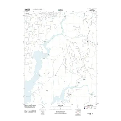
2012 Map of Pilot Hill
USGS Topo · Published 2012About this map
Folsom Lake dominates the central landscape of this western Sierra foothill region, its waters filling deeply carved features like Mormon Ravine, Kelly Ravine, and Granite Ravine. The map documents a sophisticated water management network vital to the area's development, including the Boardman Canal, the N Newcastle Canal, and the N North Fork Ditch, which trace the contours of the rising terrain. Along the eastern edge, the settlement of Pilot Hill sits near the base of Umbrella Hill, while the western border shows the residential growth of Newcastle and Loomis. To the south, the S Fork American River enters the lake near the Salmon Falls Bridge, a focal point for the small community at Zee Estates. Notable local landmarks like Shirttail Peak and the evocative Jackass Mine Rd reflect the area's rugged mining and agricultural heritage.
Find a feature on this map
156 named features on this map. Tap any name to fly to it.
Don’t see what you’re looking for? This feature index may not catch every label — zoom into the map to look around manually.
Map Details
Editions of this 2012 Pilot Hill Map
This is the sole edition of this map. No revisions or reprints were ever made.
Other maps of this area

1891 · Sacramento
USGS Topo · 1:125,000

1891 · Placerville
USGS Topo · 1:125,000

1892 · Sacramento
USGS Topo · 1:125,000

1892 · Placerville
USGS Topo · 1:125,000

1893 · Placerville
USGS Topo · 1:125,000

1893 · Sacramento
USGS Topo · 1:125,000

1914 · Folsom
USGS Topo · 1:31,680

1941 · Folsom
USGS Topo · 1:62,500
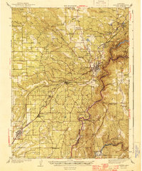
1944 · Auburn
USGS Topo · 1:62,500
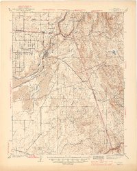
1944 · Folsom
USGS Topo · 1:62,500