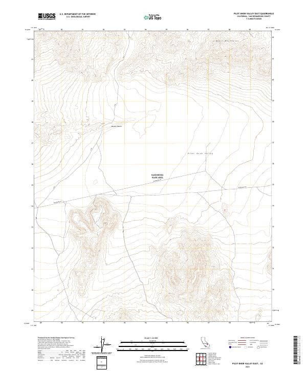
2021 Map of Pilot Knob Valley East
USGS Topo · Published 2021About this map
Quail Mountains define the northern horizon of this arid landscape in the northeastern corner of the Mojave Desert. This terrain is characterized by the broad, low expanse of Pilot Knob Valley, an area largely shaped by internal drainage and sparse desert vegetation. Human presence is marked by a handful of established thoroughfares, most notably the southwest-to-northeast passage of Randsburg Rd. This route, along with the intersecting A Rd, indicates the enduring transport corridors used to navigate this portion of San Bernardino County. The lack of concentrated settlements or named structures highlights the map's focus on topography and the natural desert basin, serving as a baseline for understanding the connectivity between mining districts and remote valleys in the contemporary era.
Find a feature on this map
5 named features on this map. Tap any name to fly to it.
Don’t see what you’re looking for? This feature index may not catch every label — zoom into the map to look around manually.
Map Details
Editions of this 2021 Pilot Knob Valley East Map
This is the sole edition of this map. No revisions or reprints were ever made.
Other maps of this area

1915 · Searles Lake
USGS Topo · 1:250,000

1933 · Avawatz Mountains
USGS Topo · 1:250,000

1947 · Trona
USGS Topo · 1:250,000

1948 · Trona
USGS Topo · 1:250,000

1948 · Quail Mountains
USGS Topo · 1:62,500

1948 · Goldstone Lake
USGS Topo · 1:62,500

1950 · Wingate Pass
USGS Topo · 1:62,500

1951 · Goldstone Lake
USGS Topo · 1:62,500

1951 · Wingate Pass
USGS Topo · 1:62,500

1951 · Quail Mountains
USGS Topo · 1:62,500