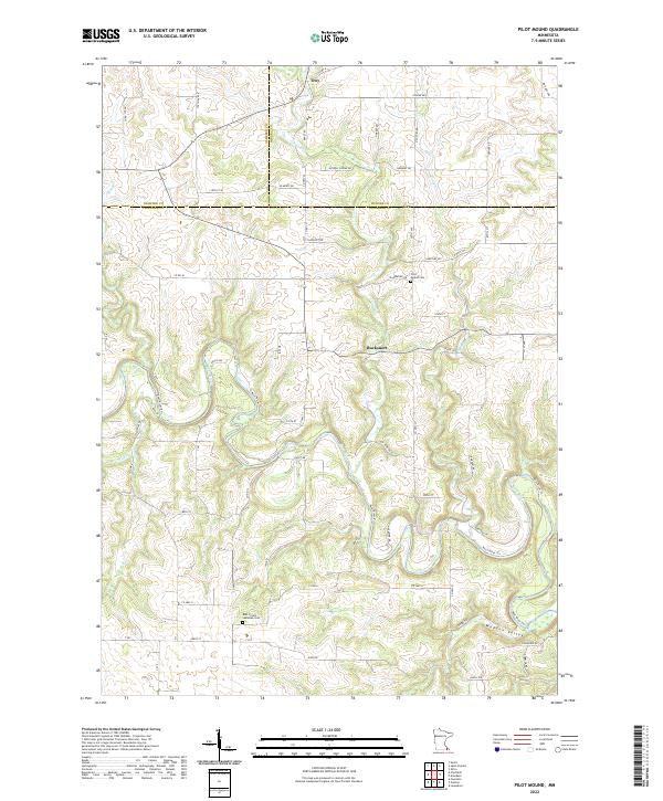
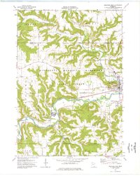
2022 Map of Pilot Mound
USGS Topo · Published 2022About this map
The Root River carves a deep path through the driftless landscape of Fillmore and Winona counties, creating the distinctive topography of Wadden Valley and the surrounding bluffs. This 2022 survey documents a rural landscape defined by its watercourses, where tributaries like Trout Run, Money Cr, and Rice Cr drain into the main river valley. Small historically rooted settlements like Troy and Bucksnort are situated among the ridges, reflecting a settlement pattern influenced by the local drainage networks. For local historians and genealogists, the map preserves the locations of established landmarks such as Pilot Mound Cem and Root Prairie Lutheran Cem. The intersection of multiple township and county lines, including the borders of Olmsted, Winona, and Fillmore, highlights the area's role as a geographic juncture for these southeastern Minnesota communities.
Find a feature on this map
63 named features on this map. Tap any name to fly to it.
Don’t see what you’re looking for? This feature index may not catch every label — zoom into the map to look around manually.
Map Details
Editions of this 2022 Pilot Mound Map
This is the sole edition of this map. No revisions or reprints were ever made.
Historical Maps of Pilot Mound Through Time
14 maps found
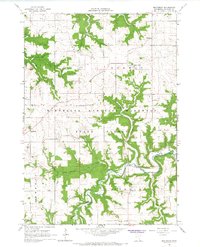
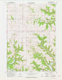
1965 Bratsberg
Fillmore County, MN
1965 Cherry Grove
Fillmore County, MN
1965 Greenleafton
Fillmore County, MN
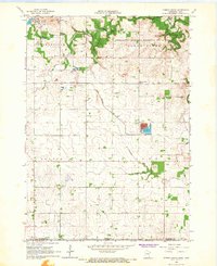
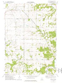
1974 Arendahl
Fillmore County, MN
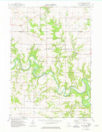
1974 Pilot Mound
Fillmore County, MN
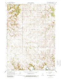
1974 Rushford West
Fillmore County, MN
1974 Washington
Fillmore County, MN
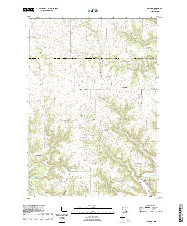
2022 Arendahl
Fillmore County, MN
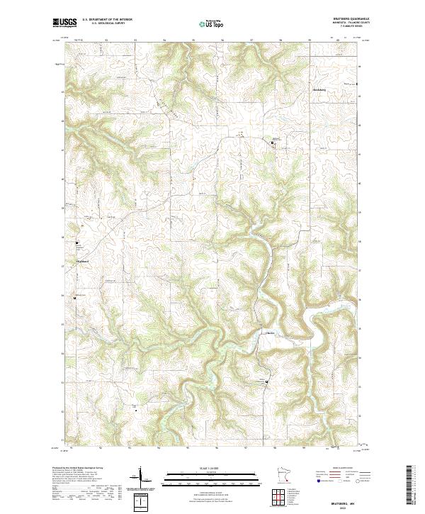
2022 Bratsberg
Fillmore County, MN
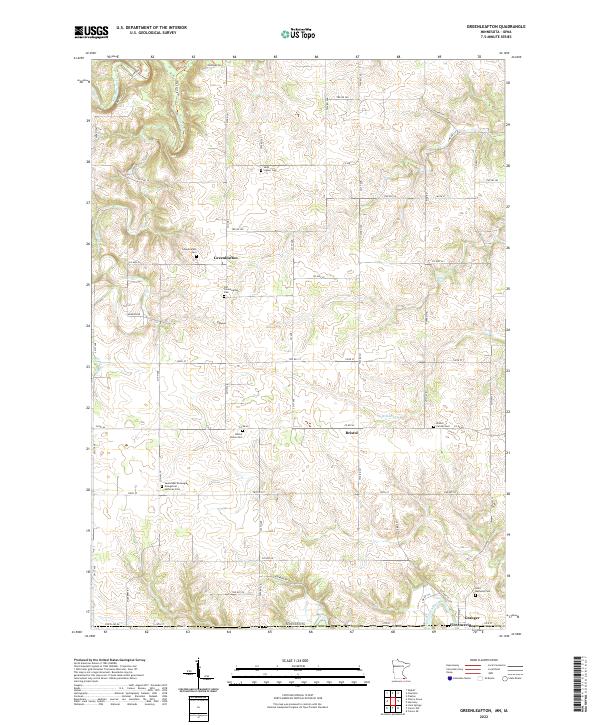
2022 Greenleafton
Fillmore County, MN
2022 Pilot Mound
Fillmore County, MN
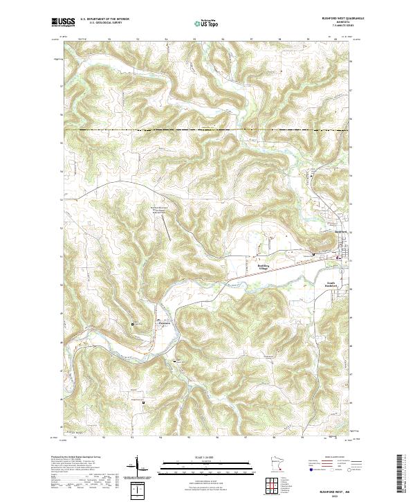
2022 Rushford West
Fillmore County, MN
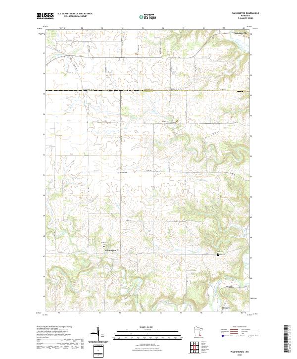
2022 Washington
Fillmore County, MN
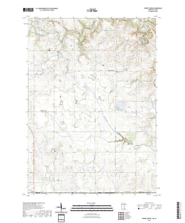
2023 Cherry Grove
Fillmore County, MN