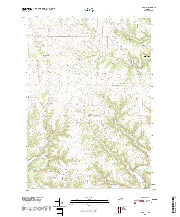
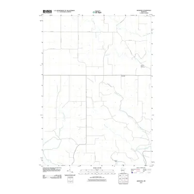
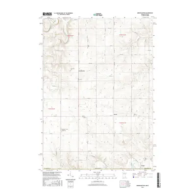
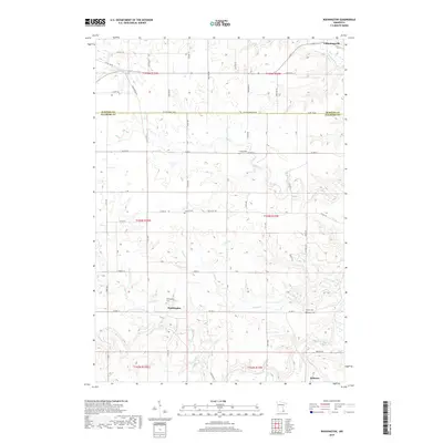
2022 Map of Arendahl
USGS Topo · Published 2022About this map
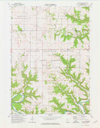
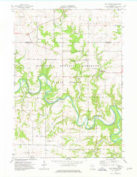
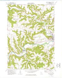
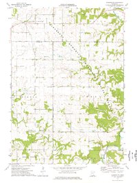
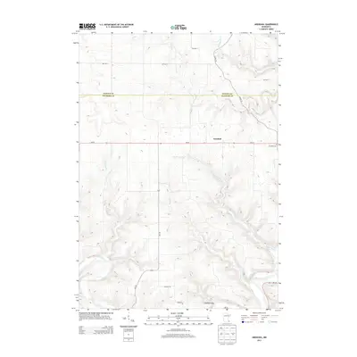
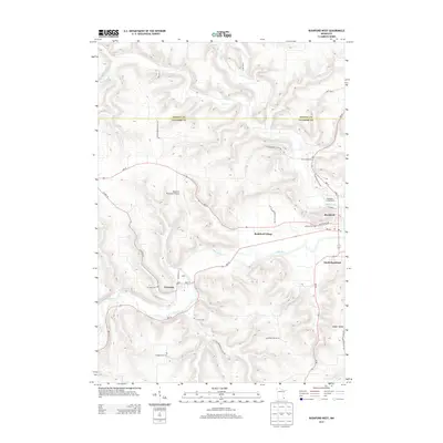
Arendahl and its surrounding rural landscapes are defined by a complex network of waterways feeding the southern corridor of the Root River. The terrain is deeply etched by the Lobland Valley, where Raaen Cr and Big Springs Cr descend from the upland plateaus. This area at the border of Winona Co and Fillmore Co remains largely agricultural, with family-named roads like Ma Dailey Rd, Maland Dr, and Gathje Ln serving as markers of local land ownership and lineage. The placement of the Arendahl Cem and the naming of Big Springs suggest historical focal points for the community in this corner of southeastern Minnesota. Numerous smaller tributaries, including Hemingway Cr, Pine Cr, and Torkelson Cr, illustrate the intricate drainage patterns that have shaped the region's topography and settlement history.
Find a feature on this map
57 named features on this map. Tap any name to fly to it.
Don’t see what you’re looking for? This feature index may not catch every label — zoom into the map to look around manually.
Map Details
Editions of this 2022 Arendahl Map
This is the sole edition of this map. No revisions or reprints were ever made.
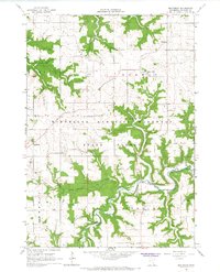
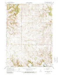
Historical Maps of Arendahl Through Time
42 maps found
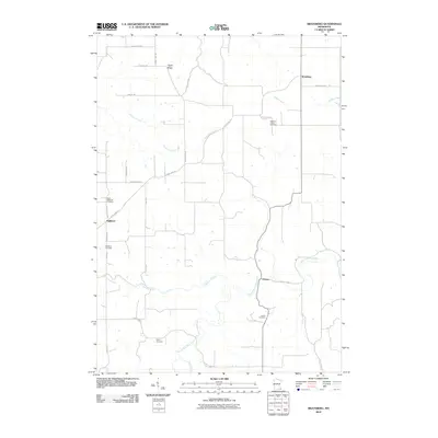
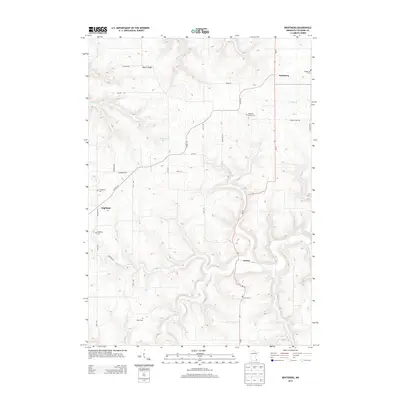
1965 Bratsberg
Fillmore County, MN
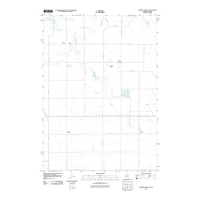
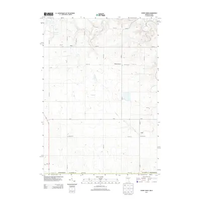
1965 Cherry Grove
Fillmore County, MN
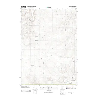
1965 Greenleafton
Fillmore County, MN
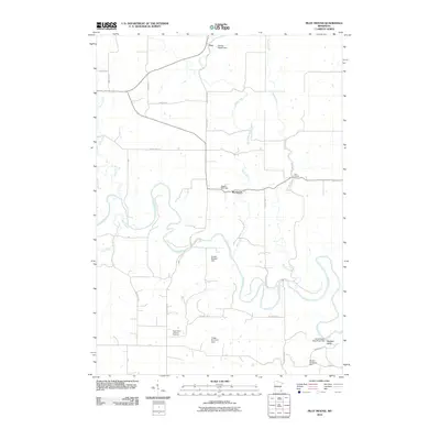
1974 Arendahl
Fillmore County, MN
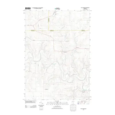
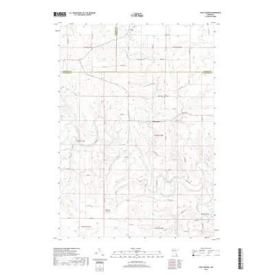
1974 Pilot Mound
Fillmore County, MN
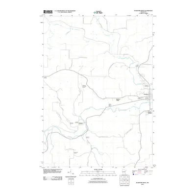
1974 Rushford West
Fillmore County, MN
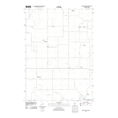
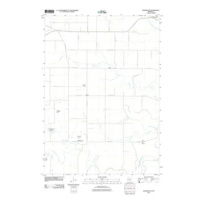
1974 Washington
Fillmore County, MN
2010 Arendahl
Fillmore County, MN
2010 Bratsberg
Fillmore County, MN
2010 Cherry Grove
Fillmore County, MN
2010 Greenleafton
Fillmore County, MN
2010 Pilot Mound
Fillmore County, MN
2010 Rushford West
Fillmore County, MN
2010 Washington
Fillmore County, MN
2013 Arendahl
Fillmore County, MN
2013 Bratsberg
Fillmore County, MN
2013 Cherry Grove
Fillmore County, MN
2013 Greenleafton
Fillmore County, MN
2013 Pilot Mound
Fillmore County, MN
2013 Rushford West
Fillmore County, MN
2013 Washington
Fillmore County, MN
2016 Arendahl
Fillmore County, MN
2016 Bratsberg
Fillmore County, MN
2016 Cherry Grove
Fillmore County, MN
2016 Greenleafton
Fillmore County, MN
2016 Pilot Mound
Fillmore County, MN
2016 Rushford West
Fillmore County, MN
2016 Washington
Fillmore County, MN
2019 Arendahl
Fillmore County, MN
2019 Bratsberg
Fillmore County, MN
2019 Cherry Grove
Fillmore County, MN
2019 Greenleafton
Fillmore County, MN
2019 Pilot Mound
Fillmore County, MN
2019 Rushford West
Fillmore County, MN
2019 Washington
Fillmore County, MN
2022 Arendahl
Fillmore County, MN
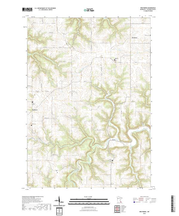
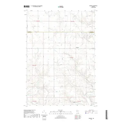
2022 Bratsberg
Fillmore County, MN
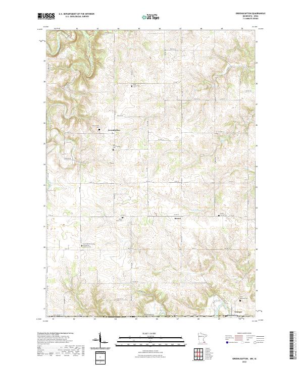
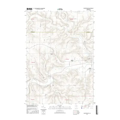
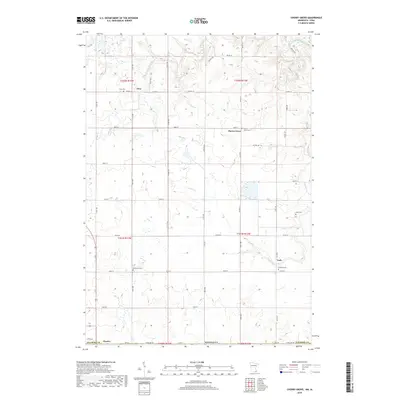
2022 Greenleafton
Fillmore County, MN
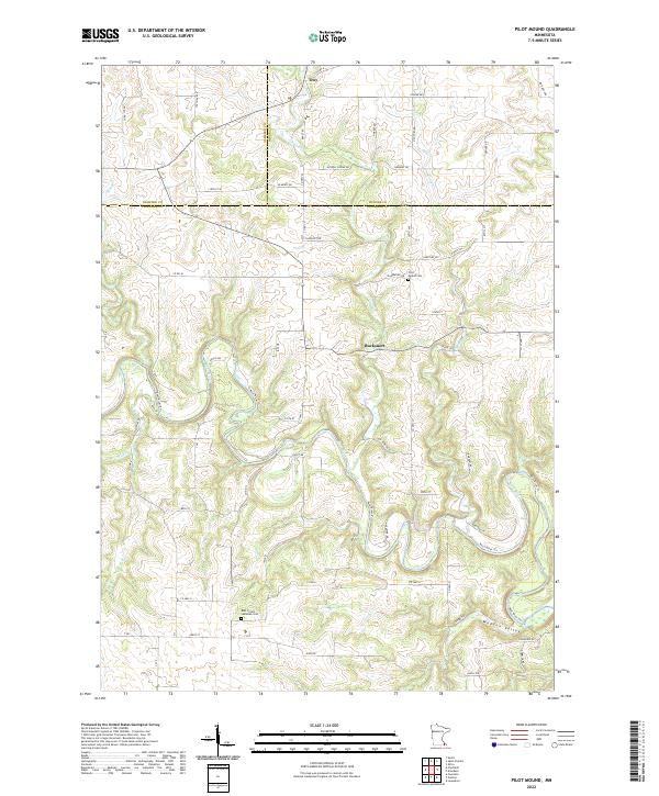
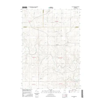
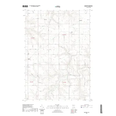
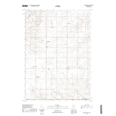
2022 Pilot Mound
Fillmore County, MN
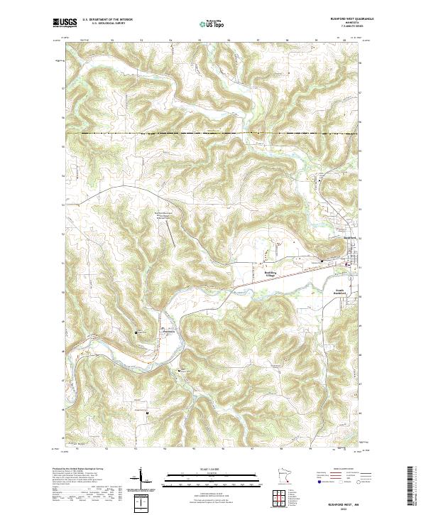
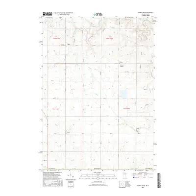
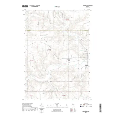
2022 Rushford West
Fillmore County, MN
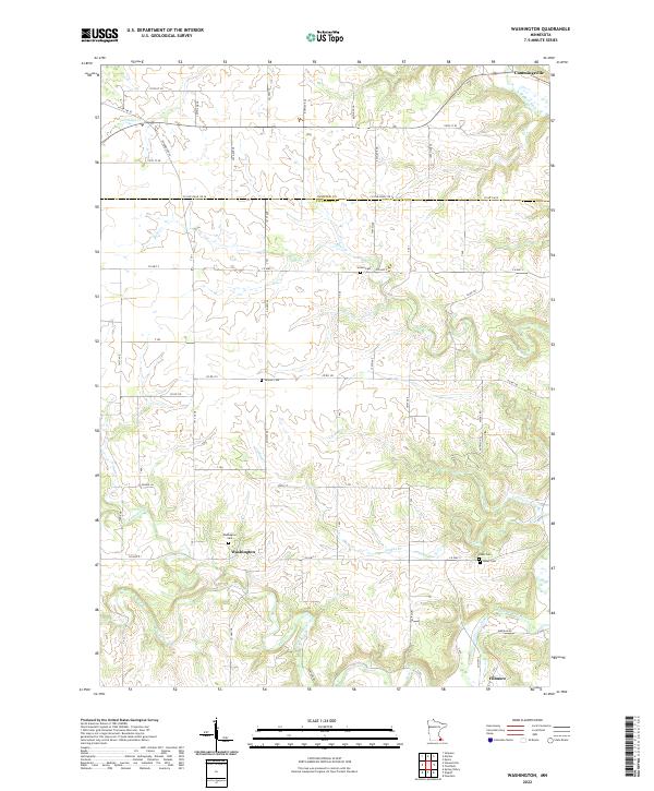
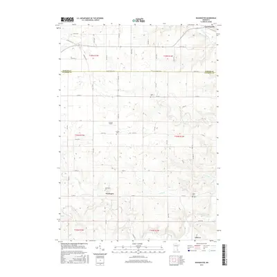
2022 Washington
Fillmore County, MN
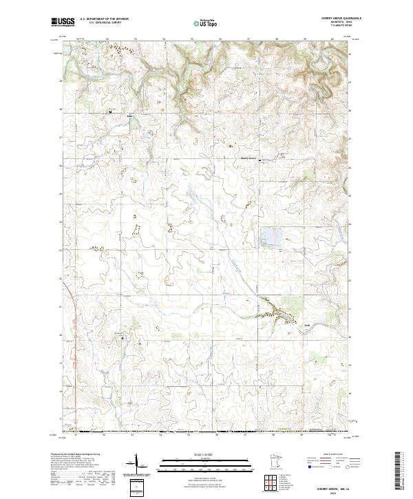
2023 Cherry Grove
Fillmore County, MN