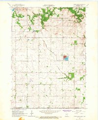
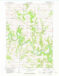
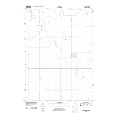
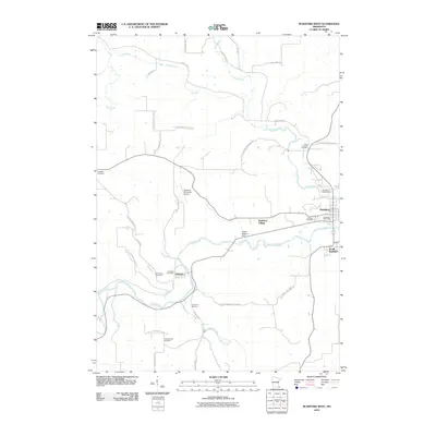
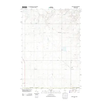
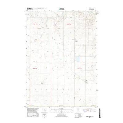
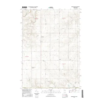
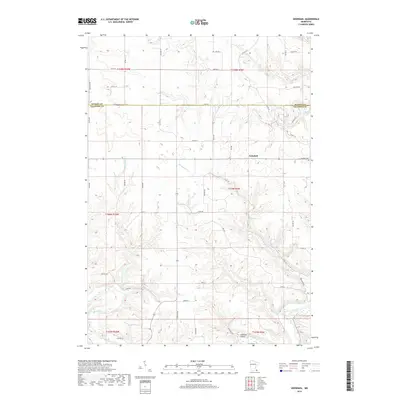
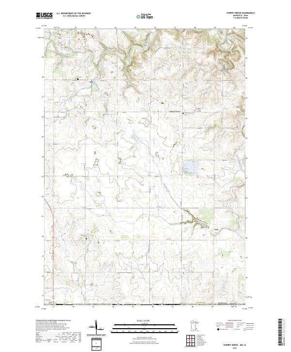
1965 Map of Cherry Grove
USGS Topo · Published 1967About this map
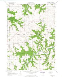
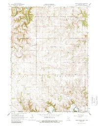
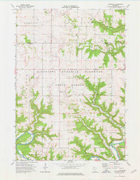
The South Branch Root River meanders through the northern reaches of this mid-1960s survey, carving a deep valley through the Minnesota Memorial Hardwood State Forest. This rugged section of Fillmore County is characterized by significant karst features, including Mystery Cave No 1 and Mystery Cave No 2 near the riverbanks. The rural landscape transitions southward into more open farmland, where the small settlements of Etna, Cherry Grove, and York serve as local hubs.
Find a feature on this map
29 named features on this map. Tap any name to fly to it.
Don’t see what you’re looking for? This feature index may not catch every label — zoom into the map to look around manually.
Map Details
Editions of this 1965 Cherry Grove Map
This is the sole edition of this map. No revisions or reprints were ever made.
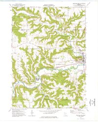
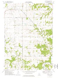
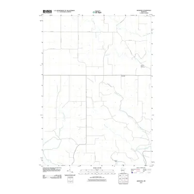
Historical Maps of York Through Time
42 maps found
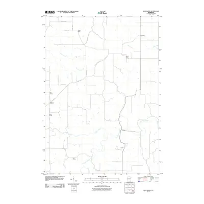
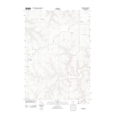
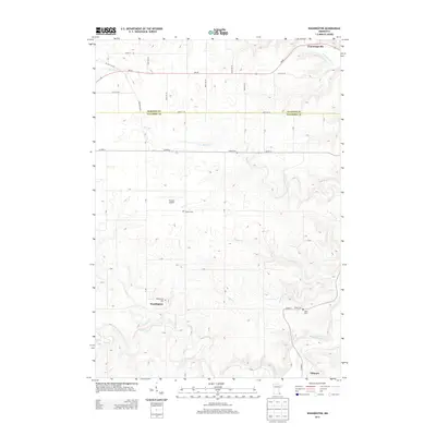
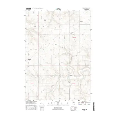
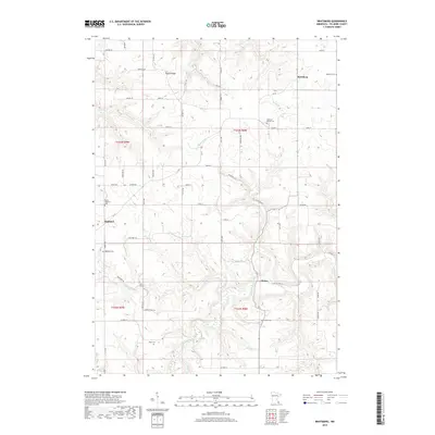
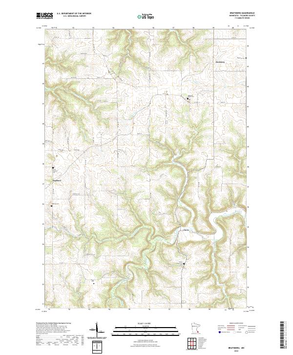
1965 Bratsberg
Fillmore County, MN
1965 Cherry Grove
Fillmore County, MN
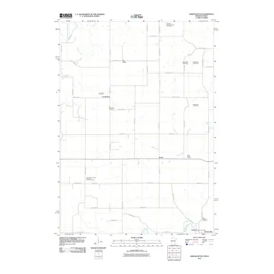
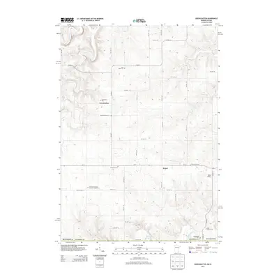
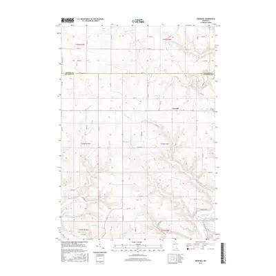
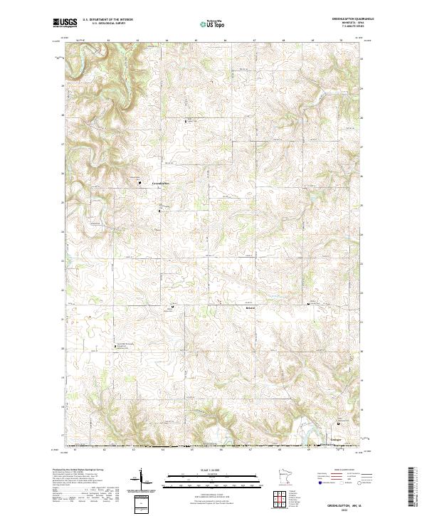
1965 Greenleafton
Fillmore County, MN
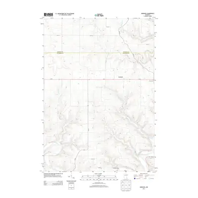
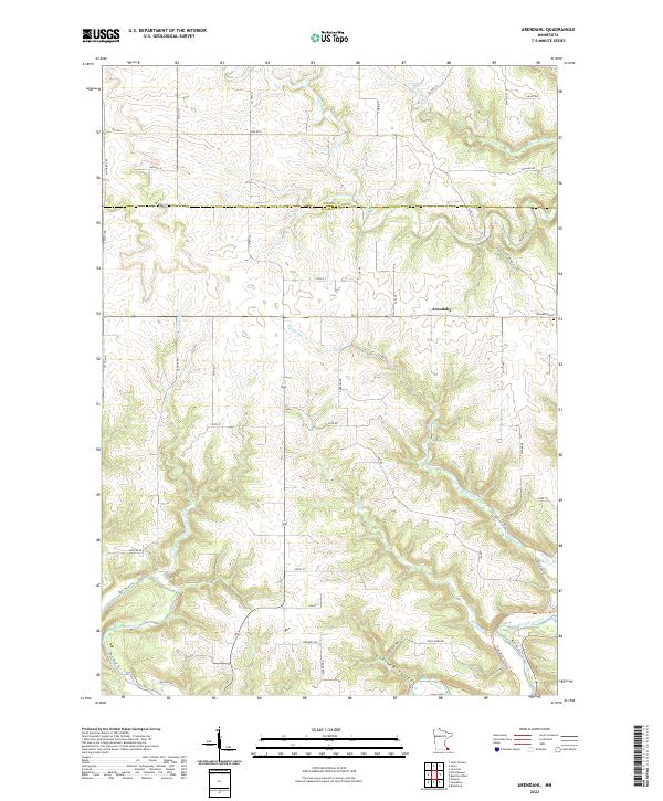
1974 Arendahl
Fillmore County, MN
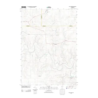
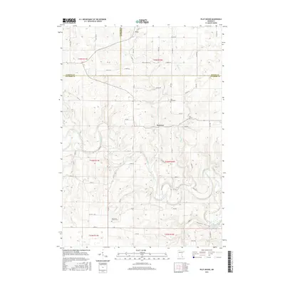
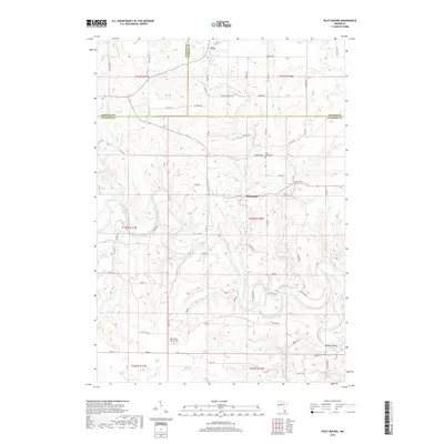
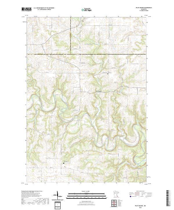
1974 Pilot Mound
Fillmore County, MN
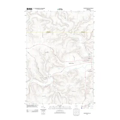
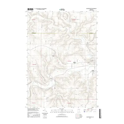
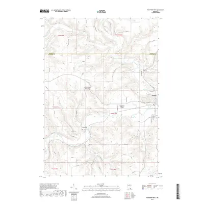
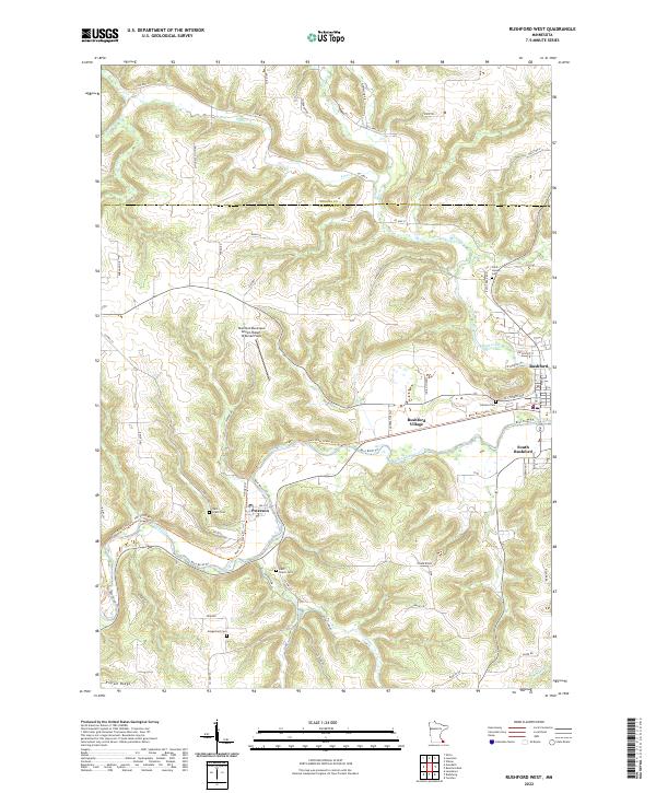
1974 Rushford West
Fillmore County, MN
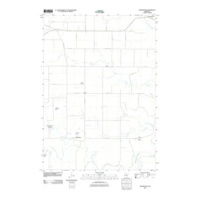
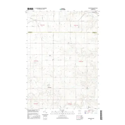
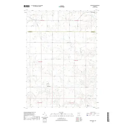
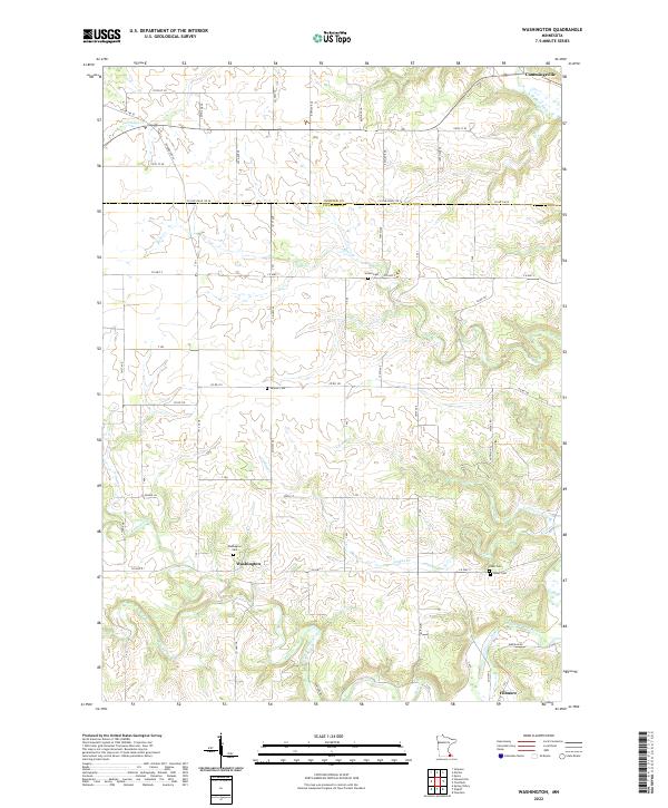
1974 Washington
Fillmore County, MN
2010 Arendahl
Fillmore County, MN
2010 Bratsberg
Fillmore County, MN
2010 Cherry Grove
Fillmore County, MN
2010 Greenleafton
Fillmore County, MN
2010 Pilot Mound
Fillmore County, MN
2010 Rushford West
Fillmore County, MN
2010 Washington
Fillmore County, MN
2013 Arendahl
Fillmore County, MN
2013 Bratsberg
Fillmore County, MN
2013 Cherry Grove
Fillmore County, MN
2013 Greenleafton
Fillmore County, MN
2013 Pilot Mound
Fillmore County, MN
2013 Rushford West
Fillmore County, MN
2013 Washington
Fillmore County, MN
2016 Arendahl
Fillmore County, MN
2016 Bratsberg
Fillmore County, MN
2016 Cherry Grove
Fillmore County, MN
2016 Greenleafton
Fillmore County, MN
2016 Pilot Mound
Fillmore County, MN
2016 Rushford West
Fillmore County, MN
2016 Washington
Fillmore County, MN
2019 Arendahl
Fillmore County, MN
2019 Bratsberg
Fillmore County, MN
2019 Cherry Grove
Fillmore County, MN
2019 Greenleafton
Fillmore County, MN
2019 Pilot Mound
Fillmore County, MN
2019 Rushford West
Fillmore County, MN
2019 Washington
Fillmore County, MN
2022 Arendahl
Fillmore County, MN
2022 Bratsberg
Fillmore County, MN
2022 Greenleafton
Fillmore County, MN
2022 Pilot Mound
Fillmore County, MN
2022 Rushford West
Fillmore County, MN
2022 Washington
Fillmore County, MN
2023 Cherry Grove
Fillmore County, MN