
1935 Map of Pilot Mountain
USGS Topo · Published 1935About this map
Cumberland Plateau terrain dominates this mid-1930s survey, where the Southern railroad line and Tennessee Highway No 27 cut a narrow corridor through the high ground. The Pilot Mtn Fire Tower stands as a prominent landmark overlooking the small settlements of Pilot Mountain and Annadel. The landscape is deeply incised by watercourses with descriptive local names like Convict Hollow, Boiling Laurel Branch, and Granny Hump Ch, suggesting a rugged topography that dictated the placement of early infrastructure. The inclusion of the State Electric Power Company Transmission Line reflects the era of electrification and the expanding influence of the Tennessee Valley Authority in Morgan County. Rural life is anchored by community nodes such as Rome Ch and Fairview Ch, which serve as primary reference points for family historians tracing early residents of this highland region.
Find a feature on this map
24 named features on this map. Tap any name to fly to it.
Don’t see what you’re looking for? This feature index may not catch every label — zoom into the map to look around manually.
Map Details
Editions of this 1935 Pilot Mountain Map
This is the sole edition of this map. No revisions or reprints were ever made.
Other maps of this area

1895 · Wartburg
USGS Topo · 1:125,000

1896 · Wartburg
USGS Topo · 1:125,000

1935 · Gobey
USGS Topo · 1:24,000

1935 · Camp Austin
USGS Topo · 1:24,000

1935 · Lancing
USGS Topo · 1:24,000

1936 · Hebbertsburg
USGS Topo · 1:24,000

1936 · Twin Bridges
USGS Topo · 1:24,000
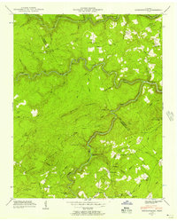
1943 · Hebbertsburg
USGS Topo · 1:24,000

1943 · Twin Bridges
USGS Topo · 1:24,000
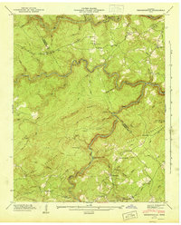
1945 · Hebbertsburg
USGS Topo · 1:24,000