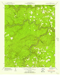
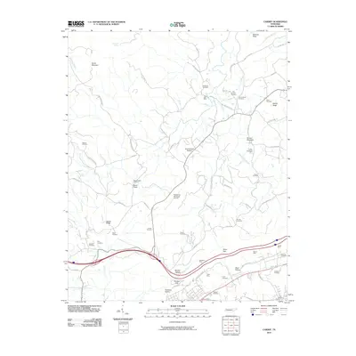
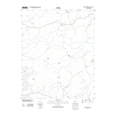
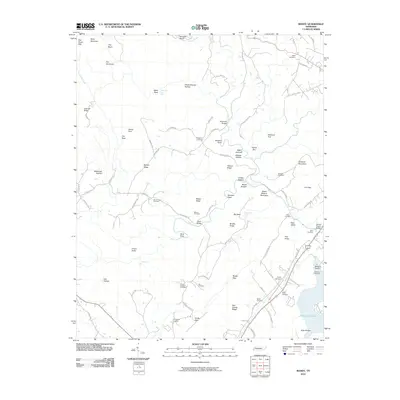
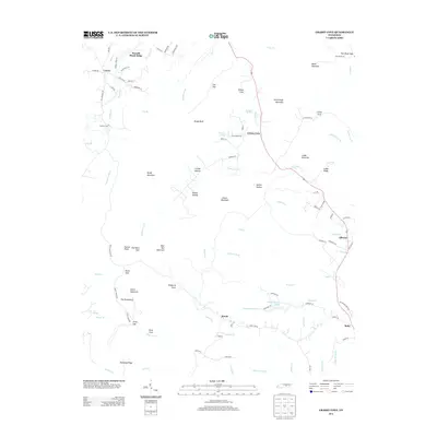
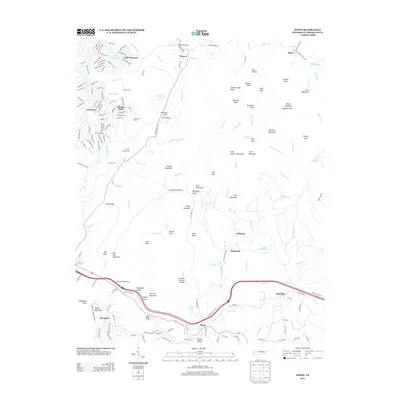
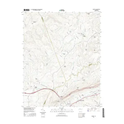
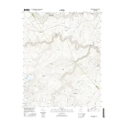
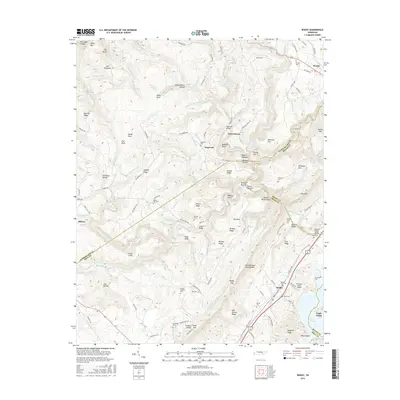
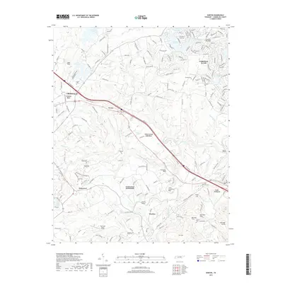
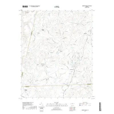
1943 Map of Hebbertsburg
USGS Topo · Published 1957About this map
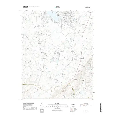
Hebbertsburg and its surrounding mountain ridges appear here during a 1943 field examination by the Tennessee Valley Authority. This area of the Cumberland Plateau is defined by the winding course of the Obed River and Daddy Creek, which cut deep through the terrain of Peavine Mountain and Hawn Ridge. The settlement pattern of the era is evident in the cluster of rural institutions such as the Frankfort School and Potter Chapel School, serving residents in the isolated valleys of Morgan Co and Cumberland Co.
Find a feature on this map
53 named features on this map. Tap any name to fly to it.
Don’t see what you’re looking for? This feature index may not catch every label — zoom into the map to look around manually.
Map Details
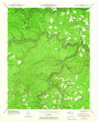
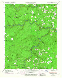
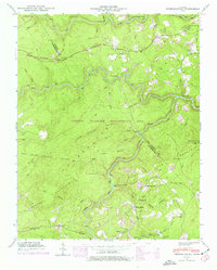
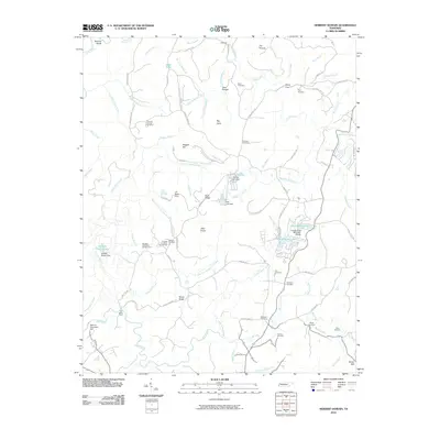
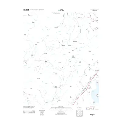
Editions of this 1943 Hebbertsburg Map
5 editions found
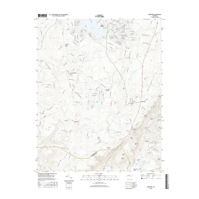
Historical Maps of Fairfield Glade Through Time
93 maps found

1924 Lillydale
Cumberland County, TN

1926 Lillydale
Cumberland County, TN

1929 Lillydale
Cumberland County, TN

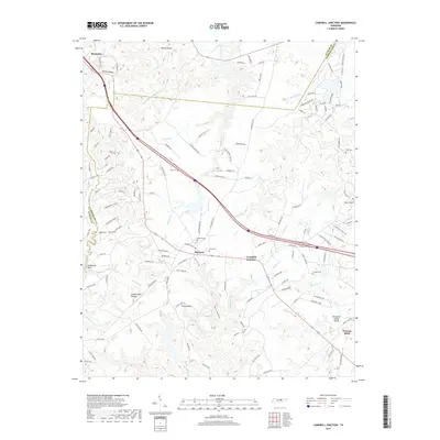
1935 Campbell Junction
Cumberland County, TN

1935 Isoline
Cumberland County, TN

1935 Vandever
Cumberland County, TN

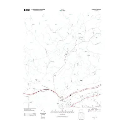
1936 Cardiff
Cumberland County, TN

1936 Dorton
Cumberland County, TN

1936 Fox Creek
Cumberland County, TN

1936 Grassy Cove
Cumberland County, TN

1936 Hebbertsburg
Cumberland County, TN

1936 Ozone
Cumberland County, TN

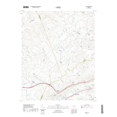
1936 Roddy
Cumberland County, TN

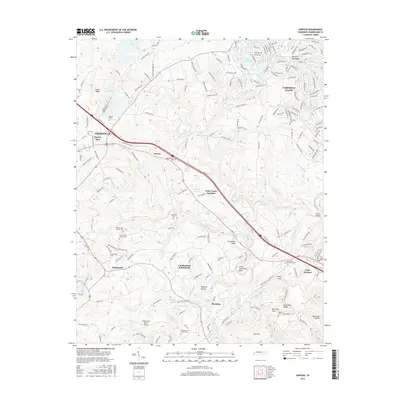
1943 Hebbertsburg
Cumberland County, TN

1945 Hebbertsburg
Cumberland County, TN

1946 Campbell Junction
Cumberland County, TN

1946 Cardiff
Cumberland County, TN

1946 Dorton
Cumberland County, TN

1946 Fox Creek
Cumberland County, TN

1946 Grassy Cove
Cumberland County, TN

1946 Isoline
Cumberland County, TN

1946 Ozone
Cumberland County, TN

1946 Roddy
Cumberland County, TN

1947 Roddy
Cumberland County, TN

1949 Cardiff
Cumberland County, TN

1949 Dorton
Cumberland County, TN

1949 Fox Creek
Cumberland County, TN

1949 Grassy Cove
Cumberland County, TN

1949 Isoline
Cumberland County, TN

1949 Ozone
Cumberland County, TN

1950 Campbell Junction
Cumberland County, TN

1952 Cardiff
Cumberland County, TN

1956 Herbert Domain
Cumberland County, TN

1956 Vandever
Cumberland County, TN

1968 Cardiff
Cumberland County, TN

1973 Grassy Cove
Cumberland County, TN

1973 Roddy
Cumberland County, TN

1983 Vandever
Cumberland County, TN

2010 Campbell Junction
Cumberland County, TN
2010 Cardiff
Cumberland County, TN
2010 Dorton
Cumberland County, TN
2010 Fox Creek
Cumberland County, TN
2010 Grassy Cove
Cumberland County, TN
2010 Hebbertsburg
Cumberland County, TN
2010 Herbert Domain
Cumberland County, TN
2010 Isoline
Cumberland County, TN
2010 Ozone
Cumberland County, TN
2010 Roddy
Cumberland County, TN

2010 Vandever
Cumberland County, TN

2013 Campbell Junction
Cumberland County, TN
2013 Cardiff
Cumberland County, TN
2013 Dorton
Cumberland County, TN
2013 Fox Creek
Cumberland County, TN
2013 Grassy Cove
Cumberland County, TN
2013 Hebbertsburg
Cumberland County, TN
2013 Herbert Domain
Cumberland County, TN
2013 Isoline
Cumberland County, TN
2013 Ozone
Cumberland County, TN
2013 Roddy
Cumberland County, TN
2013 Vandever
Cumberland County, TN
2016 Campbell Junction
Cumberland County, TN
2016 Cardiff
Cumberland County, TN
2016 Dorton
Cumberland County, TN
2016 Fox Creek
Cumberland County, TN
2016 Grassy Cove
Cumberland County, TN
2016 Hebbertsburg
Cumberland County, TN
2016 Herbert Domain
Cumberland County, TN
2016 Isoline
Cumberland County, TN
2016 Ozone
Cumberland County, TN
2016 Roddy
Cumberland County, TN
2016 Vandever
Cumberland County, TN
2019 Campbell Junction
Cumberland County, TN
2019 Cardiff
Cumberland County, TN
2019 Dorton
Cumberland County, TN
2019 Fox Creek
Cumberland County, TN
2019 Grassy Cove
Cumberland County, TN
2019 Hebbertsburg
Cumberland County, TN
2019 Herbert Domain
Cumberland County, TN
2019 Isoline
Cumberland County, TN
2019 Ozone
Cumberland County, TN
2019 Roddy
Cumberland County, TN
2019 Vandever
Cumberland County, TN

2022 Campbell Junction
Cumberland County, TN

2022 Cardiff
Cumberland County, TN

2022 Dorton
Cumberland County, TN

2022 Fox Creek
Cumberland County, TN

2022 Grassy Cove
Cumberland County, TN

2022 Hebbertsburg
Cumberland County, TN

2022 Herbert Domain
Cumberland County, TN

2022 Isoline
Cumberland County, TN

2022 Ozone
Cumberland County, TN

2022 Roddy
Cumberland County, TN

2022 Vandever
Cumberland County, TN