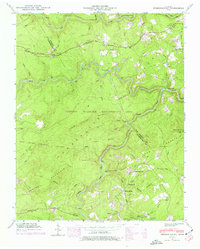
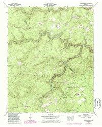
1943 Map of Hebbertsburg
USGS Topo · Published 1977About this map
Cumberland Mountain and the deep incisions of the Obed River dominate this portion of the plateau, where small settlements and isolated schoolhouses defined the rural landscape during the mid-20th century. The settlement at Hebbertsburg (PO) serves as a primary reference point, situated near the confluence of Yellow Creek and Daddys Creek. Higher on the ridges, the Pilot Knob Lookout Tower stands as a sentinel over the Catoosa Wildlife Management Area, while the rugged topography is marked by numerous family-named landmarks and water crossings.
Find a feature on this map
48 named features on this map. Tap any name to fly to it.
Don’t see what you’re looking for? This feature index may not catch every label — zoom into the map to look around manually.
Map Details
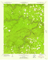
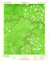
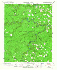
Editions of this 1943 Hebbertsburg Map
5 editions found
Other maps of this area

1887 · Kingston
USGS Topo · 1:125,000

1891 · Kingston
USGS Topo · 1:125,000

1893 · Kingston
USGS Topo · 1:125,000

1895 · Wartburg
USGS Topo · 1:125,000

1896 · Wartburg
USGS Topo · 1:125,000

1935 · Lancing
USGS Topo · 1:24,000

1935 · Pilot Mountain
USGS Topo · 1:24,000

1936 · Hebbertsburg
USGS Topo · 1:24,000

1936 · Fox Creek
USGS Topo · 1:24,000

1936 · Twin Bridges
USGS Topo · 1:24,000