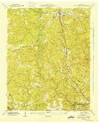
1946 Map of Pilot Mountain
USGS Topo · Published 1947About this map
The Southern Railroad winds through the eastern valley of Morgan County, following the base of Buck Ridge and passing the settlement of Sunbright. This 1940s topography, derived from aerial photographs and field examinations by the Tennessee Valley Authority, illustrates a landscape transitioning from resource extraction to managed infrastructure. Evidence of energy exploration is visible in Oil Wells Hollow and at several scattered Oil Well sites, while the presence of an Abandoned Tunnel north of Annadel speaks to the evolution of the rail line.
Find a feature on this map
52 named features on this map. Tap any name to fly to it.
Don’t see what you’re looking for? This feature index may not catch every label — zoom into the map to look around manually.
Map Details
Editions of this 1946 Pilot Mountain Map
This is the sole edition of this map. No revisions or reprints were ever made.
Other maps of this area

1895 · Wartburg
USGS Topo · 1:125,000

1896 · Wartburg
USGS Topo · 1:125,000

1935 · Gobey
USGS Topo · 1:24,000

1935 · Camp Austin
USGS Topo · 1:24,000

1935 · Lancing
USGS Topo · 1:24,000

1935 · Pilot Mountain
USGS Topo · 1:24,000

1936 · Hebbertsburg
USGS Topo · 1:24,000

1936 · Twin Bridges
USGS Topo · 1:24,000
1943 · Hebbertsburg
USGS Topo · 1:24,000

1943 · Twin Bridges
USGS Topo · 1:24,000