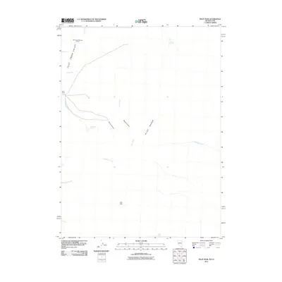
2011 Map of Pilot Peak
USGS Topo · Published 2011About this map
Pilot Range defines the high-desert character of this 2011 survey, dominated by the prominent summit of Pilot Peak. This arid landscape is punctuated by isolated water sources such as Cove Springs, Willow Spring, and McCuistion Springs, which have long been vital waypoints in the eastern Great Basin. The terrain drops into the Pilot Creek Valley, where drainage systems like Debbs Creek and McDonald Creek cut through the canyons of the western slopes.
Find a feature on this map
14 named features on this map. Tap any name to fly to it.
Don’t see what you’re looking for? This feature index may not catch every label — zoom into the map to look around manually.
Map Details
Editions of this 2011 Pilot Peak Map
This is the sole edition of this map. No revisions or reprints were ever made.
Other maps of this area

1953 · Tooele
USGS Topo · 1:250,000

1954 · Brigham City
USGS Topo · 1:250,000

1955 · Tooele
USGS Topo · 1:250,000

1955 · Wells
USGS Topo · 1:250,000

1955 · Elko
USGS Topo · 1:250,000

1958 · Wells
USGS Topo · 1:250,000

1958 · Elko
USGS Topo · 1:250,000

1958 · Brigham City
USGS Topo · 1:250,000

1961 · Wells
USGS Topo · 1:250,000

1962 · Elko
USGS Topo · 1:250,000