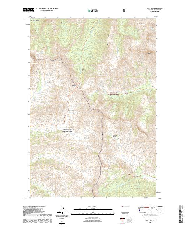
2021 Map of Pilot Peak
USGS Topo · Published 2021About this map
Yellowstone National Park and Shoshone National Forest meet along a dramatic high-altitude boundary in this 2021 study of the Absaroka Range. The landscape is dominated by sharp alpine summits, most notably Pilot Peak and its companion Index Peak, which serve as prominent navigational landmarks in the northeastern section. A complex network of drainage basins is visible, including the headwaters of Cache Cr and Pilot Cr, while high-altitude routes like Republic Pass provide historical transit points between rugged peaks such as Republic Peak and Amphitheater Mtn. The map preserves the exact alignment of modern trails like the Cache Creek Trl and North Crandall Trl against the permanent wilderness topography, showing how these paths navigate around landmarks like Woody Ridge and Ram Pasture.
Find a feature on this map
27 named features on this map. Tap any name to fly to it.
Don’t see what you’re looking for? This feature index may not catch every label — zoom into the map to look around manually.
Map Details
Editions of this 2021 Pilot Peak Map
This is the sole edition of this map. No revisions or reprints were ever made.
Other maps of this area

1886 · Canyon
USGS Topo · 1:125,000

1891 · Livingston
USGS Topo · 1:250,000

1893 · Livingston
USGS Topo · 1:250,000

1895 · Canyon
USGS Topo · 1:125,000

1896 · Canyon
USGS Topo · 1:125,000

1896 · Crandall Creek
USGS Topo · 1:125,000

1898 · Granite Mountain District
USGS Topo · 1:125,000

1899 · Crandall
USGS Topo · 1:125,000

1901 · Canyon
USGS Topo · 1:125,000

1907 · Canyon
USGS Topo · 1:125,000