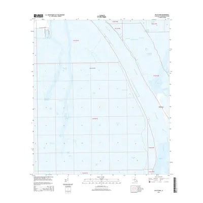
2015 Map of Pilottown
USGS Topo · Published 2015About this map
Pilottown stands as the primary outpost on this stretch of the Mississippi River, where the great river begins to fracture into its final terminal passes before meeting the Gulf of Mexico. The landscape is a labyrinth of interconnected waterways and marshland islands such as Jaquines Island and Drauzenes Island. Navigational routes like Tiger Pass, Grand Pass, and Pass a Loutre dominate the geography, illustrating the vital maritime infrastructure required at the river's mouth. North of the town, access is maintained via Venice Boat Harbor Rd and Tiger Pass Rd, while further south, the land yields almost entirely to water at Bay Chalon and Zinzin Bay. This map documents the intricate hydrology of the delta, where named features like Mary Bowers Pond and Death Pond highlight the complex and shifting character of the Louisiana coast.
Find a feature on this map
46 named features on this map. Tap any name to fly to it.
Don’t see what you’re looking for? This feature index may not catch every label — zoom into the map to look around manually.
Map Details
Editions of this 2015 Pilottown Map
This is the sole edition of this map. No revisions or reprints were ever made.
Other maps of this area

1893 · East Delta
USGS Topo · 1:62,500

1893 · Forts
USGS Topo · 1:62,500

1893 · West Delta
USGS Topo · 1:62,500

1935 · South Pass
USGS Topo · 1:31,680

1946 · Pass Du Bois
USGS Topo · 1:31,680

1946 · Pass Tante Phine
USGS Topo · 1:31,680

1947 · Pass A Loutre West
USGS Topo · 1:31,680

1947 · Venice
USGS Topo · 1:31,680

1947 · Fort St. Philip
USGS Topo · 1:31,680

1947 · Southwest Pass
USGS Topo · 1:31,680