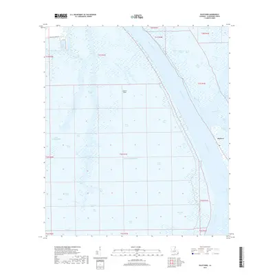
2018 Map of Pilottown
USGS Topo · Published 2018About this map
The Mississippi River delta is meticulously detailed at its southern reaches, where the great river begins its final dispersal into the Gulf of Mexico. This 2018 survey centers on the historic maritime outpost of Pilottown, a critical waypoint for river pilots navigating the shifting shoals of the birdfoot delta. The landscape is a complex labyrinth of passes and bayous, including Tiger Pass, Grand Pass, and the northern entrance to South Pass. These natural corridors dictate the flow of both fresh water and commerce through Plaquemines Parish. Named water bodies like Bay Chalon and Zinzin Bay illustrate the fragmented nature of the marshland, while features such as Jaquines Island stand as distinct landmarks amidst the surrounding wetlands. The inclusion of Venice Boat Harbor Dr at the northwestern edge hints at the nearby staging grounds for the region's essential marine and oil-field industries.
Find a feature on this map
48 named features on this map. Tap any name to fly to it.
Don’t see what you’re looking for? This feature index may not catch every label — zoom into the map to look around manually.
Map Details
Editions of this 2018 Pilottown Map
This is the sole edition of this map. No revisions or reprints were ever made.
Other maps of this area

1893 · East Delta
USGS Topo · 1:62,500

1893 · Forts
USGS Topo · 1:62,500

1893 · West Delta
USGS Topo · 1:62,500

1935 · South Pass
USGS Topo · 1:31,680

1946 · Pass Du Bois
USGS Topo · 1:31,680

1946 · Pass Tante Phine
USGS Topo · 1:31,680

1947 · Pass A Loutre West
USGS Topo · 1:31,680

1947 · Venice
USGS Topo · 1:31,680

1947 · Fort St. Philip
USGS Topo · 1:31,680

1947 · Southwest Pass
USGS Topo · 1:31,680