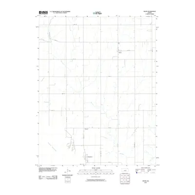
2010 Map of Pilsen
USGS Topo · Published 2010About this map
Pilsen stands as a focal point in this central Kansas landscape, situated amidst an orderly grid of section-line roads such as Pilsen Rd and 275th St. The terrain is defined by the winding course of Mud Creek, which flows southward through agricultural fields toward the significant waters of the Marion Reservoir. This reservoir, created by the Marion Dam, dominates the southwestern portion of the map and has shaped the local geography, creating the residential area known as Eastshore. Genealogy researchers will find the Strassburg Cemetery located along Pawnee Rd, a quiet landmark within this rural prairie setting. The map reflects a landscape where traditional watercourses like Clear Creek and modern infrastructure coexist, illustrating the transition from open farmland to a managed riparian and recreational environment.
Find a feature on this map
23 named features on this map. Tap any name to fly to it.
Don’t see what you’re looking for? This feature index may not catch every label — zoom into the map to look around manually.
Map Details
Editions of this 2010 Pilsen Map
This is the sole edition of this map. No revisions or reprints were ever made.
Other maps of this area

1889 · Newton
USGS Topo · 1:125,000

1889 · Abilene
USGS Topo · 1:125,000

1889 · Parkerville
USGS Topo · 1:125,000

1894 · Newton
USGS Topo · 1:125,000

1894 · Abilene
USGS Topo · 1:125,000

1894 · Parkerville
USGS Topo · 1:125,000

1898 · Cottonwood Falls
USGS Topo · 1:125,000

1955 · Hutchinson
USGS Topo · 1:250,000

1957 · Lincolnville SW
USGS Topo · 1:24,000

1959 · Hutchinson
USGS Topo · 1:250,000