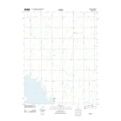
2012 Map of Pilsen
USGS Topo · Published 2012About this map
Pilsen anchor this rural Marion County landscape, sitting amidst a network of section-line roads that define the region's agricultural character. This 2012 survey captures the area as it appeared in the early 21st century, showing the relationship between the small community and the expansive Marion Lake to the southwest. The terrain is drained by Mud Creek and Clear Cr, whose winding paths contrast with the rigid grid of roads like Old Mill Rd and Pawnee Rd.
Find a feature on this map
38 named features on this map. Tap any name to fly to it.
Don’t see what you’re looking for? This feature index may not catch every label — zoom into the map to look around manually.
Map Details
Editions of this 2012 Pilsen Map
This is the sole edition of this map. No revisions or reprints were ever made.
Other maps of this area

1889 · Newton
USGS Topo · 1:125,000

1889 · Abilene
USGS Topo · 1:125,000

1889 · Parkerville
USGS Topo · 1:125,000

1894 · Newton
USGS Topo · 1:125,000

1894 · Abilene
USGS Topo · 1:125,000

1894 · Parkerville
USGS Topo · 1:125,000

1898 · Cottonwood Falls
USGS Topo · 1:125,000

1955 · Hutchinson
USGS Topo · 1:250,000

1957 · Lincolnville SW
USGS Topo · 1:24,000

1959 · Hutchinson
USGS Topo · 1:250,000