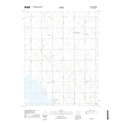
2018 Map of Pilsen
USGS Topo · Published 2018About this map
Pilsen serves as a cultural anchor in this agricultural landscape of Marion County, where the plains are etched by the meandering Mud Cr. The presence of the Saint John Nepomucene Catholic Cem reflects the deep Bohemian roots of this central Kansas community, while the Strassburg Cem further south provides additional evidence of the area's early settlement patterns. To the southwest, the waters of the North Cottonwood River form the western boundary of the Eastshore development, illustrating the intersection of natural riverine systems and modern residential expansion. The map captures a transition from traditional section-line farming to lakeside living near the city of Marion, with Clear Cr joining the drainage system in the southeast corner. This survey documents the persistent grid of rural roads, such as Nighthawk Rd and Sunflower Rd, that have organized this territory for generations.
Find a feature on this map
34 named features on this map. Tap any name to fly to it.
Don’t see what you’re looking for? This feature index may not catch every label — zoom into the map to look around manually.
Map Details
Editions of this 2018 Pilsen Map
This is the sole edition of this map. No revisions or reprints were ever made.
Other maps of this area

1889 · Newton
USGS Topo · 1:125,000

1889 · Abilene
USGS Topo · 1:125,000

1889 · Parkerville
USGS Topo · 1:125,000

1894 · Newton
USGS Topo · 1:125,000

1894 · Abilene
USGS Topo · 1:125,000

1894 · Parkerville
USGS Topo · 1:125,000

1898 · Cottonwood Falls
USGS Topo · 1:125,000

1955 · Hutchinson
USGS Topo · 1:250,000

1957 · Lincolnville SW
USGS Topo · 1:24,000

1959 · Hutchinson
USGS Topo · 1:250,000