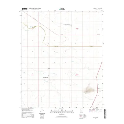
2014 Map of Pima Butte
USGS Topo · Published 2014About this map
The Gila River and its intricate network of ephemeral washes define this landscape along the border of Maricopa and Pinal Counties. At this point in the early 21st century, the map reveals a desert environment deeply connected to local history and irrigation efforts, featuring the Hoover Ditch and Santa Cruz Ditch. Notable geographic landmarks like Pima Butte rise above the surrounding terrain, while the confluence of Vekol Wash, Santa Cruz Wash, and Santa Rosa Wash illustrates the natural drainage patterns of the region.
Find a feature on this map
22 named features on this map. Tap any name to fly to it.
Don’t see what you’re looking for? This feature index may not catch every label — zoom into the map to look around manually.
Map Details
Editions of this 2014 Pima Butte Map
This is the sole edition of this map. No revisions or reprints were ever made.
Other maps of this area

1912 · Phoenix
USGS Topo · 1:62,500

1913 · Mesa
USGS Topo · 1:62,500

1913 · Maricopa
USGS Topo · 1:62,500

1914 · Gila Butte
USGS Topo · 1:62,500

1914 · Phoenix
USGS Topo · 1:62,500

1915 · Mesa
USGS Topo · 1:62,500

1915 · Maricopa
USGS Topo · 1:62,500

1917 · Gila Butte
USGS Topo · 1:62,500

1952 · Maricopa
USGS Topo · 1:24,000

1952 · Sacaton Butte
USGS Topo · 1:24,000