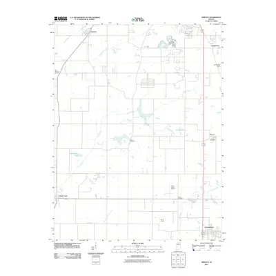
2011 Map of Pimento
USGS Topo · Published 2011About this map
Pimento and its surrounding rural landscapes are meticulously detailed in this early 21st-century survey of south-central Vigo County. The terrain is defined by a complex drainage network, including the Mc Farland Ditch and Prairie Creek, which feed into the wetlands of Hayworth Slough. These watercourses shape the agricultural layout of the region, interspersed with several small aviation sites such as Aero Plaines Airport and the Kester Fly Inn Airport.
Find a feature on this map
22 named features on this map. Tap any name to fly to it.
Don’t see what you’re looking for? This feature index may not catch every label — zoom into the map to look around manually.
Map Details
Editions of this 2011 Pimento Map
This is the sole edition of this map. No revisions or reprints were ever made.
Other maps of this area

1932 · Marshall
USGS Topo · 1:62,500

1937 · Marshall
USGS Topo · 1:62,500

1940 · Lewis
USGS Topo · 1:24,000

1940 · Pimento
USGS Topo · 1:24,000

1941 · Seelyville
USGS Topo · 1:24,000

1941 · Terre Haute
USGS Topo · 1:24,000

1942 · Fairbanks
USGS Topo · 1:24,000

1942 · Shelburn
USGS Topo · 1:24,000

1942 · Hutton
USGS Topo · 1:24,000

1942 · Dennison
USGS Topo · 1:24,000