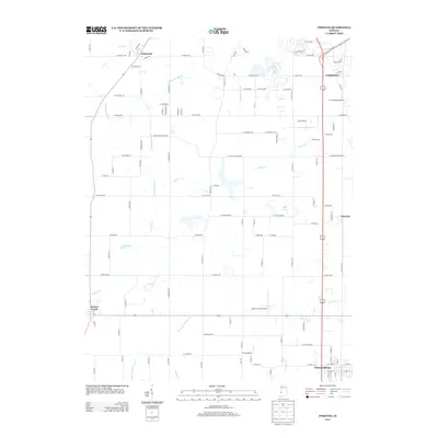
2013 Map of Pimento
USGS Topo · Published 2013About this map
Prairieton and the agricultural lands south of Terre Haute are captured here in the early 21st century, revealing a landscape defined by drainage engineering and small-scale aviation. The intricate network of waterways, including McFarland Ditch and Hayworth Slough, illustrates the ongoing management of the Wabash River floodplain. This region supports several rural aviation sites, such as Aero Plaines Airport and the Kester Fly Inn Airport, reflecting a local culture of private flight integrated with farm life. Smaller settlements like Pimento and Youngstown serve as central nodes for the surrounding countryside, while larger water bodies like Wadsworth Lake and Boyle Lake provide distinct geographic markers amidst the grid of county roads. The southern edge of the survey transitions into the town of Farmersburg, marking the boundary of this productive Indiana prairie.
Find a feature on this map
116 named features on this map. Tap any name to fly to it.
Don’t see what you’re looking for? This feature index may not catch every label — zoom into the map to look around manually.
Map Details
Editions of this 2013 Pimento Map
This is the sole edition of this map. No revisions or reprints were ever made.
Other maps of this area

1932 · Marshall
USGS Topo · 1:62,500

1937 · Marshall
USGS Topo · 1:62,500

1940 · Lewis
USGS Topo · 1:24,000

1940 · Pimento
USGS Topo · 1:24,000

1941 · Seelyville
USGS Topo · 1:24,000

1941 · Terre Haute
USGS Topo · 1:24,000

1942 · Fairbanks
USGS Topo · 1:24,000

1942 · Shelburn
USGS Topo · 1:24,000

1942 · Hutton
USGS Topo · 1:24,000

1942 · Dennison
USGS Topo · 1:24,000