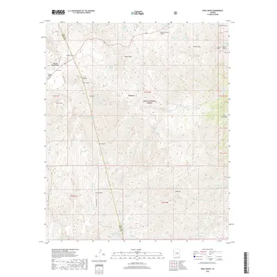
2018 Map of Pinal Ranch
USGS Topo · Published 2018About this map
Top-of-the-World sits at the high western edge of this landscape, marking a transition between the rugged peaks and the winding drainages of the Tonto National Forest. The map detail reveals a complex network of springs and water sources vital to this arid environment, including Savage Tunnel Spring, Mercer Tunnel Spring, and Oxhide Mine Spring, which suggest a history of subsurface exploration and mining activity near Bellevue.
Find a feature on this map
80 named features on this map. Tap any name to fly to it.
Don’t see what you’re looking for? This feature index may not catch every label — zoom into the map to look around manually.
Map Details
Editions of this 2018 Pinal Ranch Map
This is the sole edition of this map. No revisions or reprints were ever made.
Other maps of this area

1900 · Florence
USGS Topo · 1:125,000

1901 · Globe
USGS Topo · 1:62,500

1902 · Globe
USGS Topo · 1:62,500

1902 · Florence
USGS Topo · 1:125,000

1910 · Ray
USGS Topo · 1:62,500

1945 · Globe
USGS Topo · 1:24,000

1945 · Inspiration
USGS Topo · 1:24,000

1947 · Inspiration
USGS Topo · 1:24,000

1948 · Pinal Ranch
USGS Topo · 1:24,000

1948 · Superior
USGS Topo · 1:62,500