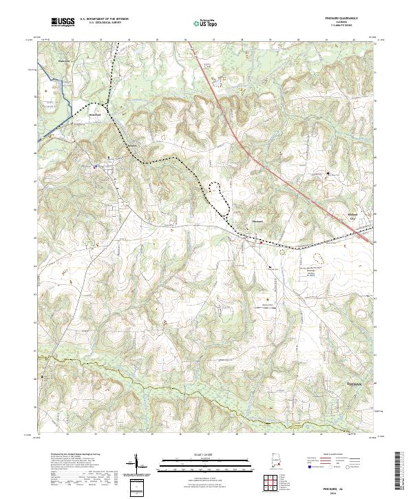
2024 Map of Pinckard
USGS Topo · Published 2024About this map
The Choctawhatchee River and its numerous tributaries, including the West Fork Choctawhatchee River and East Fork Choctawhatchee River, define the landscape of south-central Alabama. This 2024 survey captures the established settlements of Newton, Pinckard, and Midland City at the intersection of Dale and Houston counties. To the northwest, the edge of Fort Rucker Al borders the town of Waterford, while aviation history continues across the map at Liberty Field and Blessings Landing Air Ranch.
Find a feature on this map
106 named features on this map. Tap any name to fly to it.
Don’t see what you’re looking for? This feature index may not catch every label — zoom into the map to look around manually.
Map Details
Editions of this 2024 Pinckard Map
This is the sole edition of this map. No revisions or reprints were ever made.
Other maps of this area

1942 · Enterprise
USGS Topo · 1:125,000

1948 · Ozark
USGS Topo · 1:62,500

1950 · Ozark
USGS Topo · 1:62,500

1953 · Dothan
USGS Topo · 1:250,000

1954 · Dothan
USGS Topo · 1:250,000

1955 · Dothan
USGS Topo · 1:250,000

1957 · Malvern
USGS Topo · 1:24,000

1957 · Hartford
USGS Topo · 1:62,500
1957 · Clayhatchee
USGS Topo · 1:24,000

1960 · Ewell
USGS Topo · 1:24,000