
1963 Map of Pine Bluffs SE
USGS Topo · Published 1967About this map
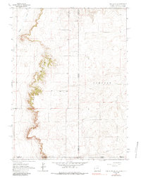
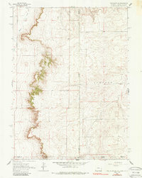
Pine Bluffs dominates the western half of this 1963 survey, where the dramatic escarpment marks a sharp transition in the High Plains landscape. Located at the unique three-state junction of Wyoming, Nebraska, and Colorado, the map details a region defined by high-elevation ranching and early petroleum infrastructure. Significant watercourses like Muddy Creek and Spring Creek wind through the northwest, while a prominent Pipeline cuts across the southern plains, indicating the industrial movement of resources across state lines. The eastern portion is characterized by broad plateau land, including the area labeled Johnson. Isolated structures such as a Shed appear in the northern reaches, providing a precise record of the sparse rural settlement and land use pattern in the Laramie County and Kimball County borderlands during the mid-twentieth century.
Find a feature on this map
12 named features on this map. Tap any name to fly to it.
Don’t see what you’re looking for? This feature index may not catch every label — zoom into the map to look around manually.
Map Details
Editions of this 1963 Pine Bluffs SE Map
3 editions found
Other maps of this area

1954 · Sterling
USGS Topo · 1:250,000

1954 · Scottsbluff
USGS Topo · 1:250,000

1954 · Cheyenne
USGS Topo · 1:250,000

1954 · Greeley
USGS Topo · 1:250,000

1957 · Greeley
USGS Topo · 1:250,000

1958 · Cheyenne
USGS Topo · 1:250,000

1958 · Greeley
USGS Topo · 1:250,000

1958 · Scottsbluff
USGS Topo · 1:250,000

1958 · Sterling
USGS Topo · 1:250,000

1961 · Greeley
USGS Topo · 1:250,000