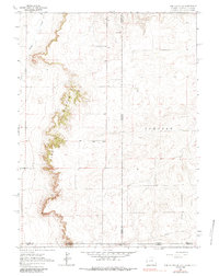
1963 Map of Pine Bluffs SE
USGS Topo · Published 1984About this map
Pine Bluffs define the western edge of this landscape, where the High Plains drop away in a series of dramatic escarpments. This 1963 survey captures a unique tri-state border region where Wyoming, Nebraska, and Colorado meet, marked by complex jurisdictional boundaries like Wyoming Nebraska and Laramie Co Weld Co. The terrain is characterized by the meandering courses of Muddy Creek and Spring Creek, which cut through the open rangeland.
Find a feature on this map
14 named features on this map. Tap any name to fly to it.
Don’t see what you’re looking for? This feature index may not catch every label — zoom into the map to look around manually.
Map Details
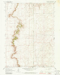
Editions of this 1963 Pine Bluffs SE Map
3 editions found

Other maps of this area

1954 · Sterling
USGS Topo · 1:250,000

1954 · Scottsbluff
USGS Topo · 1:250,000

1954 · Cheyenne
USGS Topo · 1:250,000

1954 · Greeley
USGS Topo · 1:250,000

1957 · Greeley
USGS Topo · 1:250,000

1958 · Cheyenne
USGS Topo · 1:250,000

1958 · Greeley
USGS Topo · 1:250,000

1958 · Scottsbluff
USGS Topo · 1:250,000

1958 · Sterling
USGS Topo · 1:250,000

1961 · Greeley
USGS Topo · 1:250,000