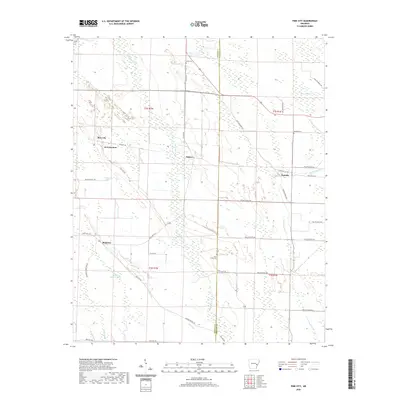
2020 Map of Pine City
USGS Topo · Published 2020About this map
The low-lying wetlands of eastern Monroe and Phillips counties dominate this landscape, defined by an intricate network of slashes and creeks. Big Cypress Cr and Little Cypress Creek wind through the territory, punctuated by named drainage areas like Persimmon Slash, Walker Cypress Slash, and Jacobs Slash. These features indicate the seasonally wet nature of the Delta terrain, where land use is dictated by the subtle changes in elevation across the floodplain.
Find a feature on this map
44 named features on this map. Tap any name to fly to it.
Don’t see what you’re looking for? This feature index may not catch every label — zoom into the map to look around manually.
Map Details
Editions of this 2020 Pine City Map
This is the sole edition of this map. No revisions or reprints were ever made.
Other maps of this area

1939 · Modoc
USGS Topo · 1:62,500

1939 · Indian Bay
USGS Topo · 1:62,500

1940 · Marvell
USGS Topo · 1:62,500

1940 · Holly Grove
USGS Topo · 1:62,500

1948 · Helena
USGS Topo · 1:250,000

1948 · Modoc
USGS Topo · 1:62,500

1950 · Helena
USGS Topo · 1:250,000

1954 · Indian Bay
USGS Topo · 1:62,500

1955 · Helena
USGS Topo · 1:250,000

1956 · Marvell
USGS Topo · 1:62,500