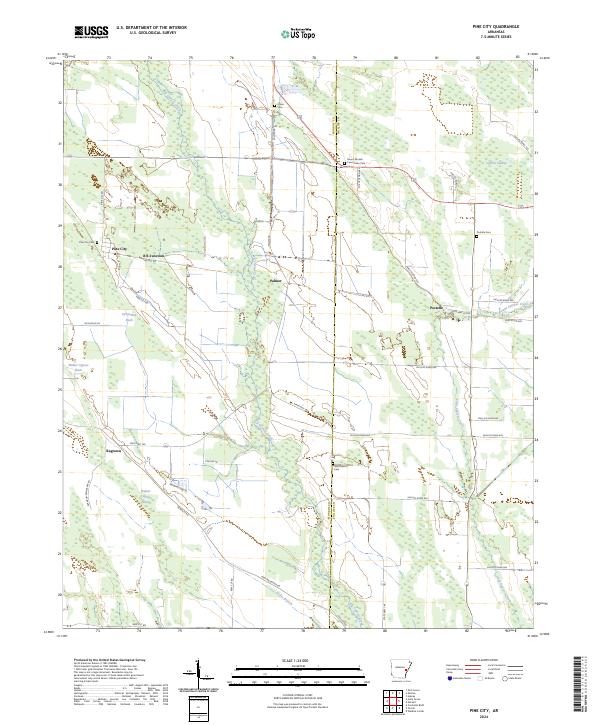
2024 Map of Pine City
USGS Topo · Published 2024About this map
Big Cypress Creek and Little Cypress Creek dictate the geography of this Monroe and Phillips County borderland, where the delta landscape is defined by wetlands like Persimmon Slash and Cypress Swamp. Small communities and agricultural junctions serve as the primary landmarks, including Pine City, Postelle, and the aptly named B B Junction. The area is notably dense with community burial sites for a rural region, such as Mount Moriah Community Cem and Saint Marks Cem, providing valuable location data for genealogists tracking family roots in the eastern Arkansas lowlands. The road network, comprising routes like Pine City Rd and Madden Bridge Rd, connects these isolated settlements through the wooded slashes and branches of the White River watershed.
Find a feature on this map
45 named features on this map. Tap any name to fly to it.
Don’t see what you’re looking for? This feature index may not catch every label — zoom into the map to look around manually.
Map Details
Editions of this 2024 Pine City Map
This is the sole edition of this map. No revisions or reprints were ever made.
Other maps of this area

1939 · Modoc
USGS Topo · 1:62,500

1939 · Indian Bay
USGS Topo · 1:62,500

1940 · Marvell
USGS Topo · 1:62,500

1940 · Holly Grove
USGS Topo · 1:62,500

1948 · Helena
USGS Topo · 1:250,000

1948 · Modoc
USGS Topo · 1:62,500

1950 · Helena
USGS Topo · 1:250,000

1954 · Indian Bay
USGS Topo · 1:62,500

1955 · Helena
USGS Topo · 1:250,000

1956 · Marvell
USGS Topo · 1:62,500