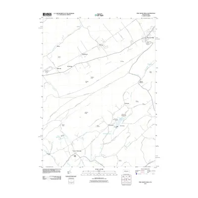
2010 Map of Pine Grove Mills
USGS Topo · Published 2010About this map
The agrarian and industrial heritage of central Pennsylvania is deeply etched into the landscape surrounding Pine Grove Mills. This topographic study reveals the enduring patterns of early settlements and rural industry, most notably at Monroe Furnace and Neffs Mills. The terrain is defined by the sharp ridges of Leading Ridge and Rudy Ridge, which channel waterways like Shaver Creek and Spruce Creek through fertile valleys.
Find a feature on this map
70 named features on this map. Tap any name to fly to it.
Don’t see what you’re looking for? This feature index may not catch every label — zoom into the map to look around manually.
Map Details
Editions of this 2010 Pine Grove Mills Map
This is the sole edition of this map. No revisions or reprints were ever made.
Other maps of this area

1908 · Bellefonte
USGS Topo · 1:62,500

1909 · Bellefonte
USGS Topo · 1:62,500

1919 · Menno
USGS Topo · 1:62,500

1922 · Philipsburg
USGS Topo · 1:62,500

1923 · Tyrone
USGS Topo · 1:62,500

1929 · Tyrone
USGS Topo · 1:48,000

1933 · Tyrone
USGS Topo · 1:62,500

1935 · Allensville
USGS Topo · 1:62,500

1938 · Allensville
USGS Topo · 1:62,500

1939 · Philipsburg
USGS Topo · 1:62,500
Featured Places
- Pine Grove Mills, PA
- Monroe Furnace, Barree Township
- Charteroak, Barree Township
- Masseyburg, Barree Township
- Neffs Mills, West Township