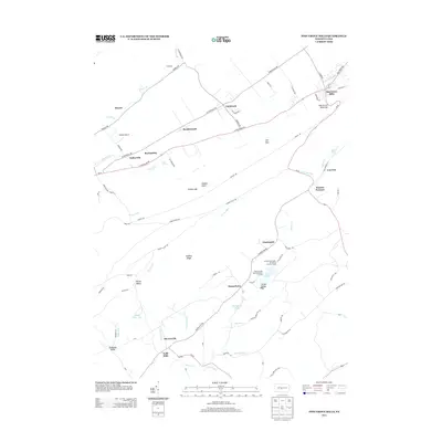
2013 Map of Pine Grove Mills
USGS Topo · Published 2013About this map
Pine Grove Mills and its namesake gap anchor the northern end of this central Pennsylvania landscape, where the ridges of the Appalachian Mountains create a corridor of small settlements and historical industrial sites. The southern portion of the sheet is defined by Stone Valley and the academic presence of the Pennsylvania State University Forestry Camp near Lake Perez. Evidence of the region's 19th-century iron heritage is visible in the placement of Monroe Furnace, situated along Shaver Cr. The map details a network of rural hamlets including Masseyburg, Mooresville, and Neffs Mills that developed along the local creek systems. This modern survey also documents transportation infrastructure such as Homan Airport and the intricate road network connecting Baileyville and Fairbrook across the agricultural valleys.
Find a feature on this map
75 named features on this map. Tap any name to fly to it.
Don’t see what you’re looking for? This feature index may not catch every label — zoom into the map to look around manually.
Map Details
Editions of this 2013 Pine Grove Mills Map
This is the sole edition of this map. No revisions or reprints were ever made.
Other maps of this area

1908 · Bellefonte
USGS Topo · 1:62,500

1909 · Bellefonte
USGS Topo · 1:62,500

1919 · Menno
USGS Topo · 1:62,500

1922 · Philipsburg
USGS Topo · 1:62,500

1923 · Tyrone
USGS Topo · 1:62,500

1929 · Tyrone
USGS Topo · 1:48,000

1933 · Tyrone
USGS Topo · 1:62,500

1935 · Allensville
USGS Topo · 1:62,500

1938 · Allensville
USGS Topo · 1:62,500

1939 · Philipsburg
USGS Topo · 1:62,500
Featured Places
- Pine Grove Mills, PA
- Monroe Furnace, Barree Township
- Charteroak, Barree Township
- Masseyburg, Barree Township
- Neffs Mills, West Township