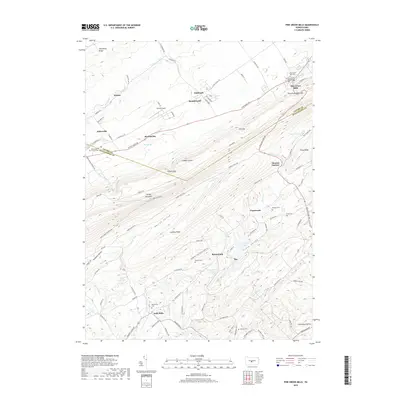
2019 Map of Pine Grove Mills
USGS Topo · Published 2019About this map
Pine Grove Mills serves as a primary settlement hub where the ridge-and-valley terrain of central Pennsylvania defines the local geography. The landscape is dominated by the massive profile of Tussey Mountain and Leading Ridge, creating distinct corridors like Harrys Valley and Stone Valley. Historically significant sites are scattered throughout these lowlands, including the industrial remains at Monroe Furnace and several small rural hamlets such as Charteroak and Masseyburg.
Find a feature on this map
101 named features on this map. Tap any name to fly to it.
Don’t see what you’re looking for? This feature index may not catch every label — zoom into the map to look around manually.
Map Details
Editions of this 2019 Pine Grove Mills Map
This is the sole edition of this map. No revisions or reprints were ever made.
Other maps of this area

1908 · Bellefonte
USGS Topo · 1:62,500

1909 · Bellefonte
USGS Topo · 1:62,500

1919 · Menno
USGS Topo · 1:62,500

1922 · Philipsburg
USGS Topo · 1:62,500

1923 · Tyrone
USGS Topo · 1:62,500

1929 · Tyrone
USGS Topo · 1:48,000

1933 · Tyrone
USGS Topo · 1:62,500

1935 · Allensville
USGS Topo · 1:62,500

1938 · Allensville
USGS Topo · 1:62,500

1939 · Philipsburg
USGS Topo · 1:62,500
Featured Places
- Pine Grove Mills, PA
- Monroe Furnace, Barree Township
- Charteroak, Barree Township
- Masseyburg, Barree Township
- Neffs Mills, West Township