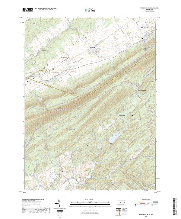
2023 Map of Pine Grove Mills
USGS Topo · Published 2023About this map
Pine Grove Mills and its namesake gap anchor the northern end of this corridor where the valley floor meets the steep rise of Tussey Mountain. The landscape is a study in Pennsylvania ridge-and-valley geography, defined by the long parallel runs of Leading Ridge and Stone Valley. Settled crossroads such as Neffs Mills, Baileyville, and Masseysburg dot the lowlands, connected by winding routes like Pennsylvania Furnace Rd and McAlevys Fort Rd. Several generational burial grounds, including the Old Pine Grove Mills Cem and the Mooresville Cem, provide significant touchpoints for genealogical research. In the southern half of the quadrangle, water features such as Lake Perez, White-Deer Lake, and the winding Shaver Creek dominate the terrain. This area remains largely recreational and rural, evidenced by the Rothrock State Forest Seven Mountains Snowmobile Trails Trl and the small Homan Airport situated in the valley between Gatesburg Ridge and the primary mountain fronts.
Find a feature on this map
100 named features on this map. Tap any name to fly to it.
Don’t see what you’re looking for? This feature index may not catch every label — zoom into the map to look around manually.
Map Details
Editions of this 2023 Pine Grove Mills Map
This is the sole edition of this map. No revisions or reprints were ever made.
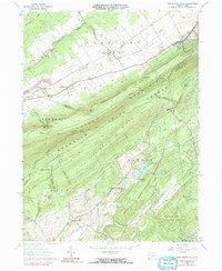
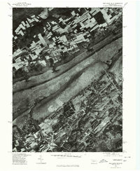
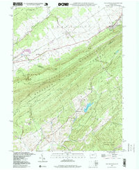
Historical Maps of Neffs Mills Through Time
4 maps found
Featured Locations
- Barree Township, PA
- Franklin Township, PA
- Jackson Township, PA
- Ferguson Township, PA
- Pine Grove Mills, Ferguson Township