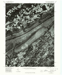
1977 Map of Pine Grove Mills
USGS Topo · Published 1979About this map
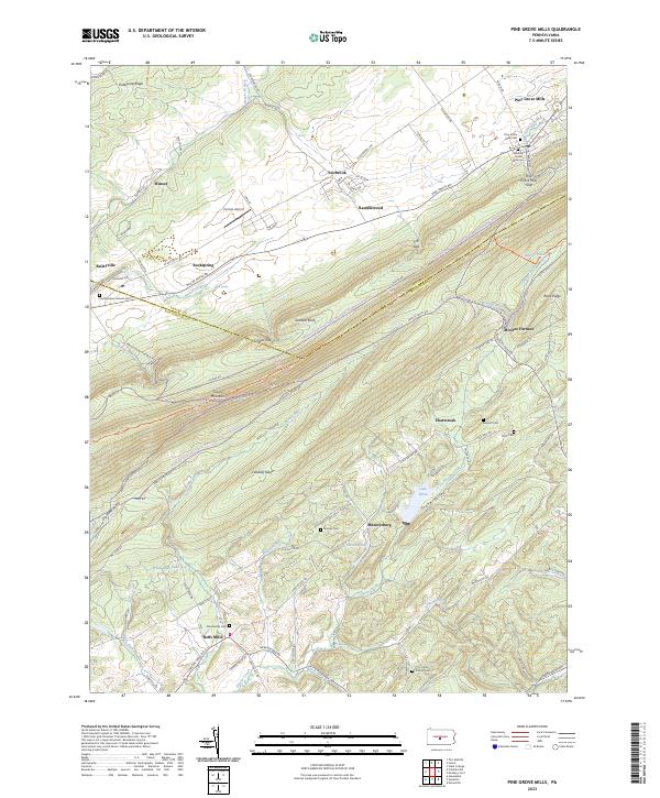
Pine Grove Mills sits at the foot of the massive Tussey Mountain ridge, serving as a focal point for this 1977 orthophotoquad. This aerial perspective, prepared in cooperation with the Soil Conservation Service, reveals the precise agricultural patterns and forest boundaries of Centre County during the late seventies. The image clearly delineates the sharp contrast between the rectangular tilled fields of Fairbrook and Baileyville and the dense, linear woodlands covering Leading Ridge. To the south, the terrain becomes increasingly complex around Masseyburg and Neffs Mills, where smaller clearings follow the contours of the land. The distinct footprint of the University Dam provides a notable landmark amidst the undulating topography of the southern valley, illustrating how local water resources were managed during this era of rural development.
Find a feature on this map
8 named features on this map. Tap any name to fly to it.
Don’t see what you’re looking for? This feature index may not catch every label — zoom into the map to look around manually.
Map Details
Editions of this 1977 Pine Grove Mills Map
This is the sole edition of this map. No revisions or reprints were ever made.
Historical Maps of Pine Grove Mills Through Time
8 maps found
1963 Pine Grove Mills
Centre County, PA
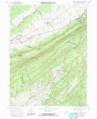
1977 Pine Grove Mills
Centre County, PA
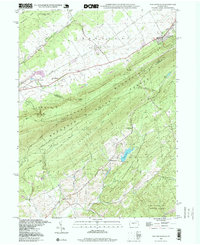
1998 Pine Grove Mills
Centre County, PA
2010 Pine Grove Mills
Centre County, PA
2013 Pine Grove Mills
Centre County, PA
2016 Pine Grove Mills
Centre County, PA
2019 Pine Grove Mills
Centre County, PA
2023 Pine Grove Mills
Centre County, PA
Featured Locations
- Jackson Township, PA
- Ferguson Township, PA
- Pine Grove Mills, Ferguson Township
- Ramblewood, Ferguson Township
- Ramblewood, Ferguson Township