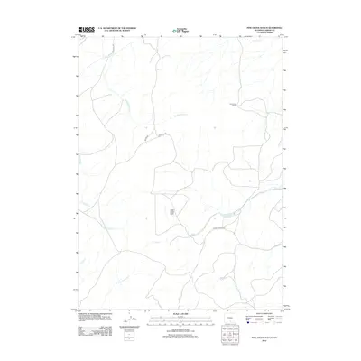
2012 Map of Pine Grove Ranch
USGS Topo · Published 2012About this map
Pine Grove Ranch sits at the heart of this high-elevation landscape in Carbon County, where a complex network of seasonal creeks and ranch roads defines the high desert terrain. The drainage patterns of the Sage Creek Basin are clearly visible, with Sage Cr and its tributaries such as Muddy Spring Cr carving through the plateau. This 2012 survey illustrates the vital importance of water management in the region, centered on the Rawlins Reservoir. Remote access is provided by a few primary routes including Miller Hill Rd and McCarty Canyon Rd, which follow the natural contours of the basin. The map captures a section of the Continental Divide's eastern slope, shown through the flow of Little Savery Cr and McCarty Cr as they move toward the south and west.
Find a feature on this map
15 named features on this map. Tap any name to fly to it.
Don’t see what you’re looking for? This feature index may not catch every label — zoom into the map to look around manually.
Map Details
Editions of this 2012 Pine Grove Ranch Map
This is the sole edition of this map. No revisions or reprints were ever made.
Other maps of this area

1932 · Savery
USGS Topo · 1:96,000

1940 · Savery
USGS Topo · 1:125,000

1954 · Rawlins
USGS Topo · 1:250,000

1956 · Bridger Pass
USGS Topo · 1:62,500

1956 · Bolten Ranch
USGS Topo · 1:62,500

1958 · Rawlins
USGS Topo · 1:250,000

1961 · Divide Peak
USGS Topo · 1:24,000

1961 · Middlewood Hill
USGS Topo · 1:24,000

1961 · Pine Grove Ranch
USGS Topo · 1:24,000

1961 · Ketchum Buttes
USGS Topo · 1:24,000