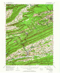
1955 Map of Pine Grove
USGS Topo · Published 1965About this map
Anthracite coal country defines the northern reaches of this mid-century survey, where the Reading railroad network links industrial settlements like Minersville, Tremont, and Donaldson. The landscape is a series of parallel ridges including Mahanoy Mountain, Sharp Mountain, and Blue Mountain, the latter of which is crested by the Appalachian Trail. Evidence of the region's extraction economy is visible through sites like Coal Castle and numerous unnamed mines concentrated near Branch Dale and Heckscherville.
Find a feature on this map
124 named features on this map. Tap any name to fly to it.
Don’t see what you’re looking for? This feature index may not catch every label — zoom into the map to look around manually.
Map Details
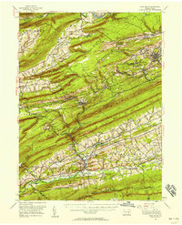
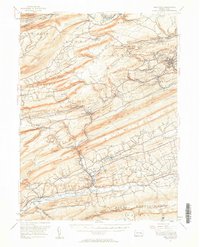
Editions of this 1955 Pine Grove Map
Other maps of this area

1889 · Catawissa
USGS Topo · 1:62,500

1889 · Pottsville
USGS Topo · 1:62,500

1891 · Pottsville
USGS Topo · 1:62,500

1891 · Lebanon
USGS Topo · 1:62,500

1892 · Catawissa
USGS Topo · 1:62,500

1892 · Lykens
USGS Topo · 1:62,500

1892 · Hummelstown
USGS Topo · 1:62,500

1892 · Shamokin
USGS Topo · 1:62,500

1892 · Mahanoy
USGS Topo · 1:62,500

1892 · Pine Grove
USGS Topo · 1:62,500