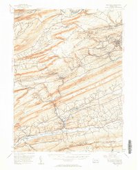
1955 Map of Pine Grove
USGS Topo · Published 1958About this map
The anthracite coal region of Schuylkill County unfolds across this mid-century survey, defined by the heavy presence of the Reading railroad network and the distinct linear ridges of Mahantango Mountain and Blue Mountain. Industrial operations are evident in settlements like Minersville, Branch Dale, and the aptly named New Mines, where the landscape is marked by the infrastructure of extraction and transport. Further south, the character shifts toward the valley floor near Pine Grove, where the Swatara Creek and the Appalachian Trail define a more rural topography.
Find a feature on this map
103 named features on this map. Tap any name to fly to it.
Don’t see what you’re looking for? This feature index may not catch every label — zoom into the map to look around manually.
Map Details
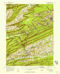
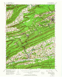
Editions of this 1955 Pine Grove Map
Other maps of this area

1889 · Catawissa
USGS Topo · 1:62,500

1889 · Pottsville
USGS Topo · 1:62,500

1891 · Pottsville
USGS Topo · 1:62,500

1891 · Lebanon
USGS Topo · 1:62,500

1892 · Catawissa
USGS Topo · 1:62,500

1892 · Lykens
USGS Topo · 1:62,500

1892 · Hummelstown
USGS Topo · 1:62,500

1892 · Shamokin
USGS Topo · 1:62,500

1892 · Mahanoy
USGS Topo · 1:62,500

1892 · Pine Grove
USGS Topo · 1:62,500