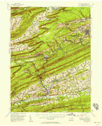
1955 Map of Pine Grove
USGS Topo · Published 1958About this map
Pine Grove and the surrounding coal-country townships of Cass and Frailey are revealed in this mid-century study of the Schuylkill County landscape. The map illustrates the intensive rail network of the Reading and Pennsylvania lines, which served the numerous anthracite operations around Minersville and Tremont. In the southern portion of the sheet, the terrain shifts from the industrial coal hills to the agricultural valley floor, where Swatara Creek flows near the Swatara Valley Airport. Local landmarks such as the Drive-in Theater near Exmoor and the YWCA Camp at Sweet Arrow Lake reflect the social life of the 1950s. Along the southern border, the Appalachian Trail follows the ridge of Blue Mountain, passing hikers' shelters like Hertline Shelter as it overlooks the Indiantown Gap Military Reservation.
Find a feature on this map
138 named features on this map. Tap any name to fly to it.
Don’t see what you’re looking for? This feature index may not catch every label — zoom into the map to look around manually.
Map Details
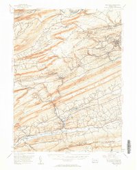
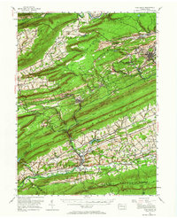
Editions of this 1955 Pine Grove Map
Other maps of this area

1889 · Catawissa
USGS Topo · 1:62,500

1889 · Pottsville
USGS Topo · 1:62,500

1891 · Pottsville
USGS Topo · 1:62,500

1891 · Lebanon
USGS Topo · 1:62,500

1892 · Catawissa
USGS Topo · 1:62,500

1892 · Lykens
USGS Topo · 1:62,500

1892 · Hummelstown
USGS Topo · 1:62,500

1892 · Shamokin
USGS Topo · 1:62,500

1892 · Mahanoy
USGS Topo · 1:62,500

1892 · Pine Grove
USGS Topo · 1:62,500