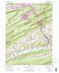
1954 Map of Pine Grove
USGS Topo · Published 1977About this map
Pine Grove serves as the focal point of this survey, situated at the confluence of Swatara Creek and Lower Little Swatara Cr. The landscape is defined by the steep, parallel ridges of Second Mountain, Swope Mountain, and Blue Mountain, which funnel transportation and settlement into narrow valleys. The Conrail rail lines track alongside these waterways, connecting industrial outposts like Lorberry Junction and Good Spring to the larger network.
Find a feature on this map
55 named features on this map. Tap any name to fly to it.
Don’t see what you’re looking for? This feature index may not catch every label — zoom into the map to look around manually.
Map Details
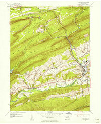
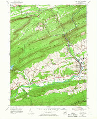
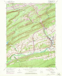
Editions of this 1954 Pine Grove Map
4 editions found
Other maps of this area

1891 · Lebanon
USGS Topo · 1:62,500

1892 · Lykens
USGS Topo · 1:62,500

1892 · Hummelstown
USGS Topo · 1:62,500

1892 · Pine Grove
USGS Topo · 1:62,500

1893 · Lykens
USGS Topo · 1:62,500

1893 · Lebanon
USGS Topo · 1:62,500

1899 · Lebanon
USGS Topo · 1:62,500

1924 · Hummelstown
USGS Topo · 1:62,500

1943 · Lebanon
USGS Topo · 1:62,500

1943 · Lykens
USGS Topo · 1:62,500
Featured Places
- Bethel Township, PA
- Hegins Township, PA
- Pine Grove, Pine Grove Township
- Union Township, PA
- Tremont Township, PA