Loading...
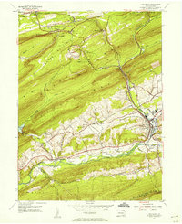
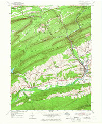
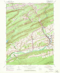
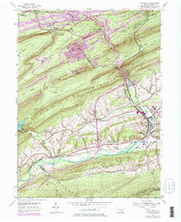
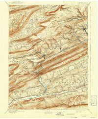
Loading map...1954 Map of Pine Grove
USGS Topo · Published 1956About this map
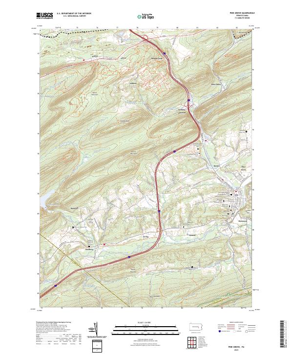
Pine Grove Township centers this mid-century view of the ridge-and-valley landscape in Schuylkill County, where the Reading railroad network dictated the movement of goods and people. The map illustrates a dense collection of small communities and social centers like Joliett Ch and the Oak Grove Union Sch, alongside the developing infrastructure of the 1950s, such as the Drive-in Theater and Swatara Valley Airport.
Find a feature on this map
60 named features on this map. Tap any name to fly to it.
Don’t see what you’re looking for? This feature index may not catch every label — zoom into the map to look around manually.
Map Details
Date Portrayed1954
Date Published1956
PublisherU.S. Geological Survey
Map TypeTopographic
Scale1:24,000
Physical Dimensions22 x 27 inches
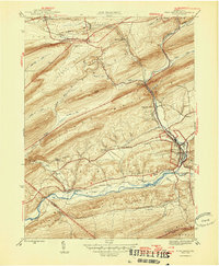
Editions of this 1954 Pine Grove Map
4 editions found
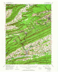
Historical Maps of Bethel Township Through Time
6 maps found
Featured Locations
- Union Township, PA
- Bethel Township, PA
- Tremont Township, PA
- Hegins Township, PA
- Pine Grove, Pine Grove Township
Source Details
SourceU.S. Geological Survey
CopyrightPublic Domain