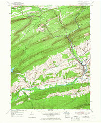
1954 Map of Pine Grove
USGS Topo · Published 1966About this map
The ridge-and-valley landscape of central Pennsylvania is defined here by the winding course of Swatara Creek and the heavy presence of the Reading railroad lines. In this mid-century survey, the town of Pine Grove serves as a central hub for transportation and education, supported by local institutions like the Oak Grove Union Sch and Pine Grove Sch. The northern portion of the map is dominated by the steep slopes of Broad Mountain and Sharp Mountain, where small mining and rail settlements such as Keffers, Joliett, and Lorberry are tucked into the narrow gaps between ridges.
Find a feature on this map
67 named features on this map. Tap any name to fly to it.
Don’t see what you’re looking for? This feature index may not catch every label — zoom into the map to look around manually.
Map Details
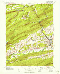
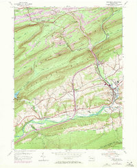
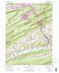
Editions of this 1954 Pine Grove Map
4 editions found
Other maps of this area

1891 · Lebanon
USGS Topo · 1:62,500

1892 · Lykens
USGS Topo · 1:62,500

1892 · Hummelstown
USGS Topo · 1:62,500

1892 · Pine Grove
USGS Topo · 1:62,500

1893 · Lykens
USGS Topo · 1:62,500

1893 · Lebanon
USGS Topo · 1:62,500

1899 · Lebanon
USGS Topo · 1:62,500

1924 · Hummelstown
USGS Topo · 1:62,500

1943 · Lebanon
USGS Topo · 1:62,500

1943 · Lykens
USGS Topo · 1:62,500
Featured Places
- Bethel Township, PA
- Hegins Township, PA
- Pine Grove, Pine Grove Township
- Union Township, PA
- Tremont Township, PA